Flagg Mountain: The New Springer?
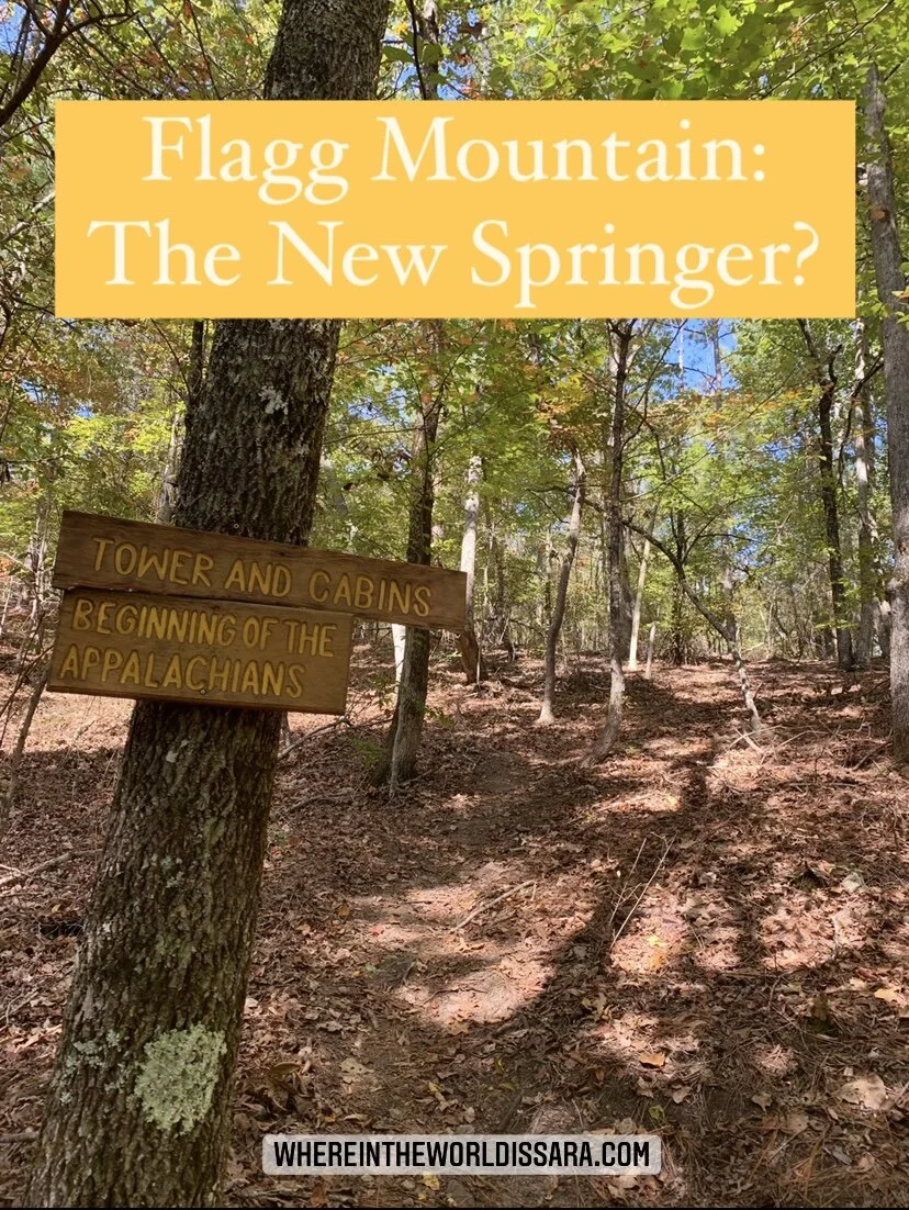
In the following essay I will make the case as to why you should start your Appalachian Trail thru-hike in Alabama, by appealing to the purist, the novice, and the challenger. But first, let me start by sharing that Flagg Mountain, near the small town of Weogufka in the center of the state, is recognized as the southern most mountain over 1000ft in the Appalachian Mountain range and thus marks the beginning of the Appalachians. It is also the Southern terminus of the Pinhoti Trail, an Appalachian Trail connector trail, which was joined with the Georgia Pinhoti section in 2008.

Appeal to the Purist
If you consider yourself a purist and want to walk the entire Appalachian mountain range then you’re looking at international travel because the mountains don’t start at Springer and don’t stop at Katahdin, nor abruptly end at the border with Canada.The range continues on into Newfoundland and Labrador and leads you till you cannot go any further, stopped by the Atlantic Ocean. But wait, the range doesn’t stop there, it goes beyond North America. If that blows your mind then you probably weren’t paying attention in science class. So if you would allow me to give a brief crash course…a billion years ago present day Scotland was cozied up against what is now the north-east US and Canada. Fast forward to 400 million years ago when the ancient continents collided to form the Caledonian Mountains. Then around 50 million years ago the land masses separated and split up the mountain chain. The remains of that range are the Appalachian Mountains in North America but the remaining chain stretches all the way to Norway. Therefore, the International Appalachian Trail has recognized sections in Scotland, Greenland, etc. So before you get overwhelmed as to how you’re going to fly to Greenland to hike, I’ve got a much more easily accessible portion of the mountains for you. That’s right, it’s the 350 miles along the Pinhoti Trail in Alabama and Georgia. So if you want to claim you hiked the whole Appalachian mountain range (in the United States) then you need to start at the beginning, on Flagg Mountain.
Appeal to the Novice
The first section of the AT in North Georgia is not exactly an easy start for a novice backpacker. Your pack is probably too heavy with unnecessary items like bear spray, a book, and perhaps even a machete. Your trail runners aren’t broken in and you may or may not have set up your rain fly inside out and snapped your tent poles on the second night out. So why not ease into your thru-hike with what I like to call AT Lite or the approach, approach trail aka The Pinhoti Trail. You’ll start off with smaller mountains in Alabama that will progressively getting bigger the closer you get to Springer, acting as a natural progression and a good warmup in acquiring your trail legs. It’s not a difficult trail to follow and it’s even on Guthook. There are a sprinkling of hostels along the way, a few shelters, and resupply options such as Dollar General right along the path. You can even get your picture with the mayor of Heflin if that is something you wanted to do. If you were looking to do a shakedown hike, this could be it, and by the time you hit the white blazes you won’t be a novice anymore.
Appeal to the Challenger
In a time when trail culture keeps upping the anty with FKTs, calendar year triple crowns, yo-yos, 4 state challenges, etc. why not tack on another 400 or so miles to your AT thru-hike? What’s another month on your 4-month trek? Did I mention that it’s easy terrain for the most part, so you should be able to fly through. Sure it might have 50+ miles of road walks and notorious areas known as the gauntlet whereby you must practice stealth and agility while passing unleashed and aggressive dogs, but that just adds to the challenge doesn’t it?

Am I there yet?
Now if you’ve looked at a map you might notice that the Pinhoti doesn’t exactly end at Springer. The northern terminus lies unceremoniously in the middle of the woods at the intersection with the Benton MacKaye Trail just ten miles south of the Tennessee line. So to get to Springer you’d have to hike southbound on the BMT for another 70 miles to get to Springer. But hey, the AT wouldn’t exist if it wasn’t for Benton so show your respect and hike the trail named for him, plus it’s actually his original route for the AT.
Looking Forward
Making the Pinhoti Trail part of the official AT is out of my hands. I can’t magically wave my spork and create the protected footpath with the flick of my wrist. That’s something the ATC would have to work at. And if it’s anything like what they’ve had to go through over the past several decades acquiring lands for the trail and corridor then it will not be easy, and might not even be possible for that matter. I imagine the Alabama portion would probably be easier to add since the majority of the trail lies within Talledega National Forest, but as for Georgia, that’s when you have serious road walks through towns and the city of Dalton.
I’m from Alabama so I’m probably a little biased, but I’d love to see the Appalachian Trail extended to Flagg Mountain. I’m proud and privileged to have a protected long trail in my home state, and I just want more people to be able to witness the beauty of Cheaha Wilderness, the looming Long Leaf Pines, and rhododendron tunnels. So let’s get on that shall we?

This article is also published on Medium-HERE.
“Why You Should Start the AT at Flagg Mountain Instead of Springer”
Published on The Trek, February 2022