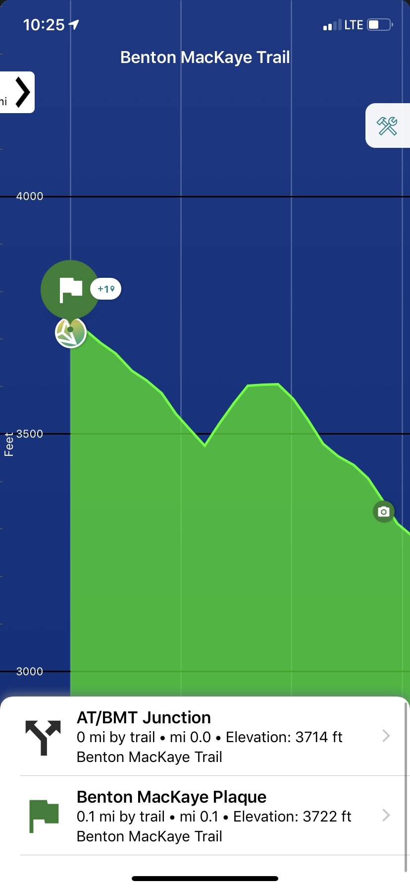
Pinhoti to Springer on the BMT


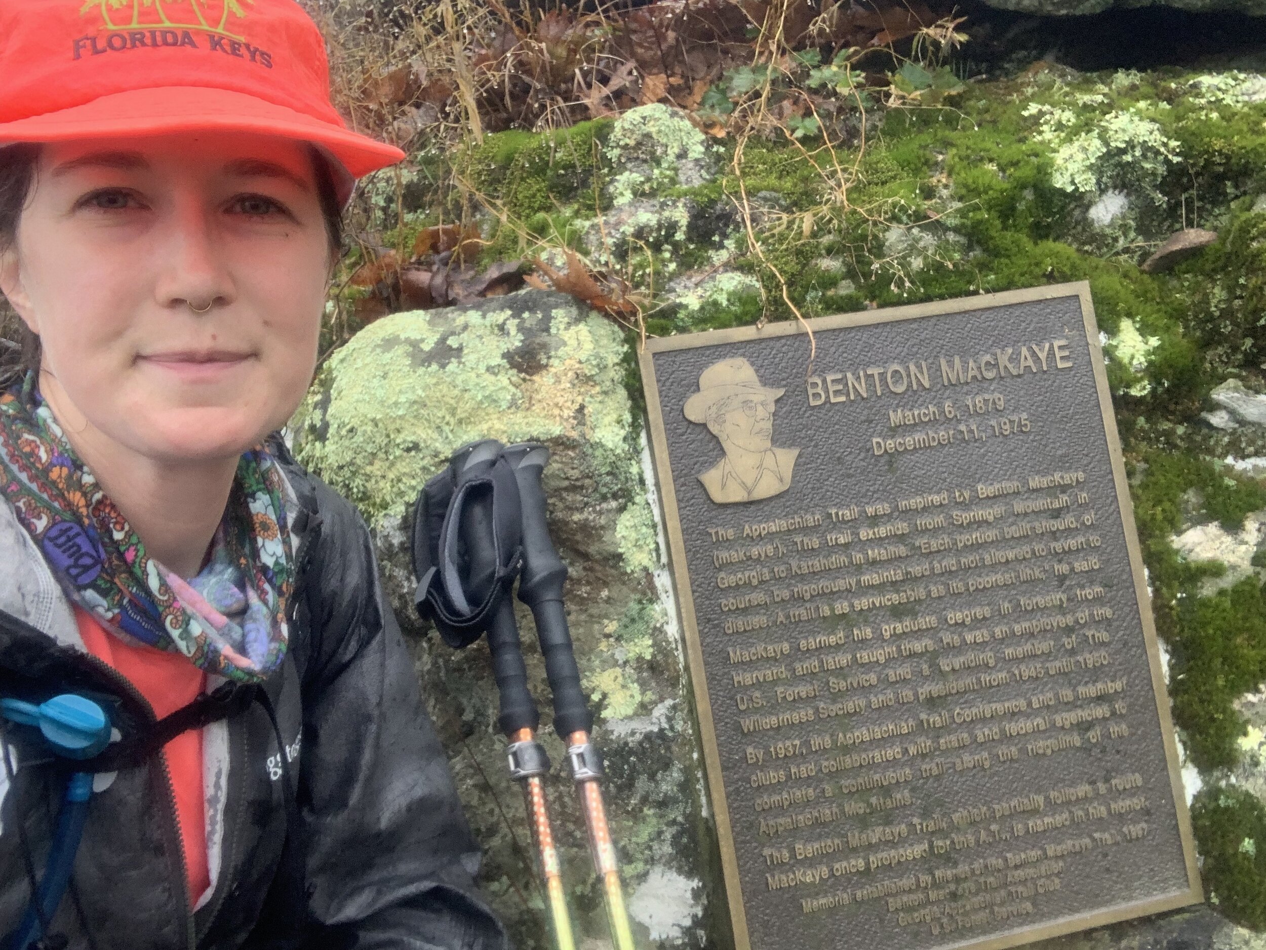
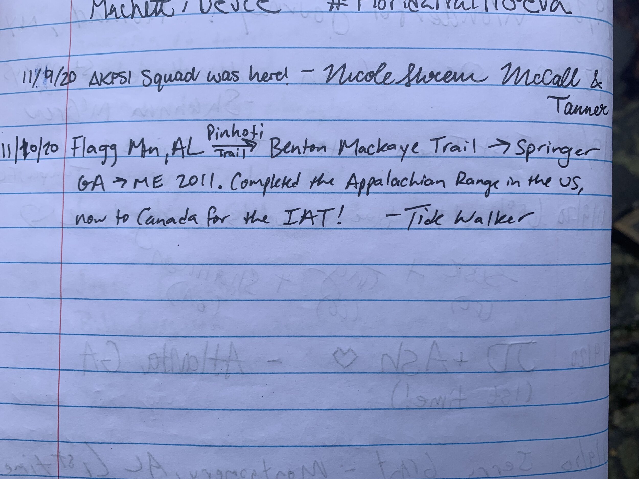
There’s no fanfare at the Northern Terminus of the Pinhoti Trail in Northern Georgia, it abruptly ends in the middle of the woods, miles from the nearest road. The saving grace is that it hits the Benton MacKaye Trail, just 10 miles south of the Tennessee line. …Now in the minuscule planning I did for my Pinhoti Trail thru-hike just days before setting off, I learned that after the Pinhoti you could jump on the BMT Southbound to Springer Mountain, the Southern Terminus of the Appalachian Trail (for now..). And of course, after learning that, my thru-hike increased by about 72 miles. Of course if I was that close I had to go to Springer and connect the trails and complete the Appalachian Mountain Range in the U.S. (it continues on into Canada on the International Appalachian Trail, which is most def on the “to-hike” list).
BMT Profile written for The Trek, March 2022
“The Benton MacKaye Trail: 290 Secluded Miles in the Southern Appalachians”
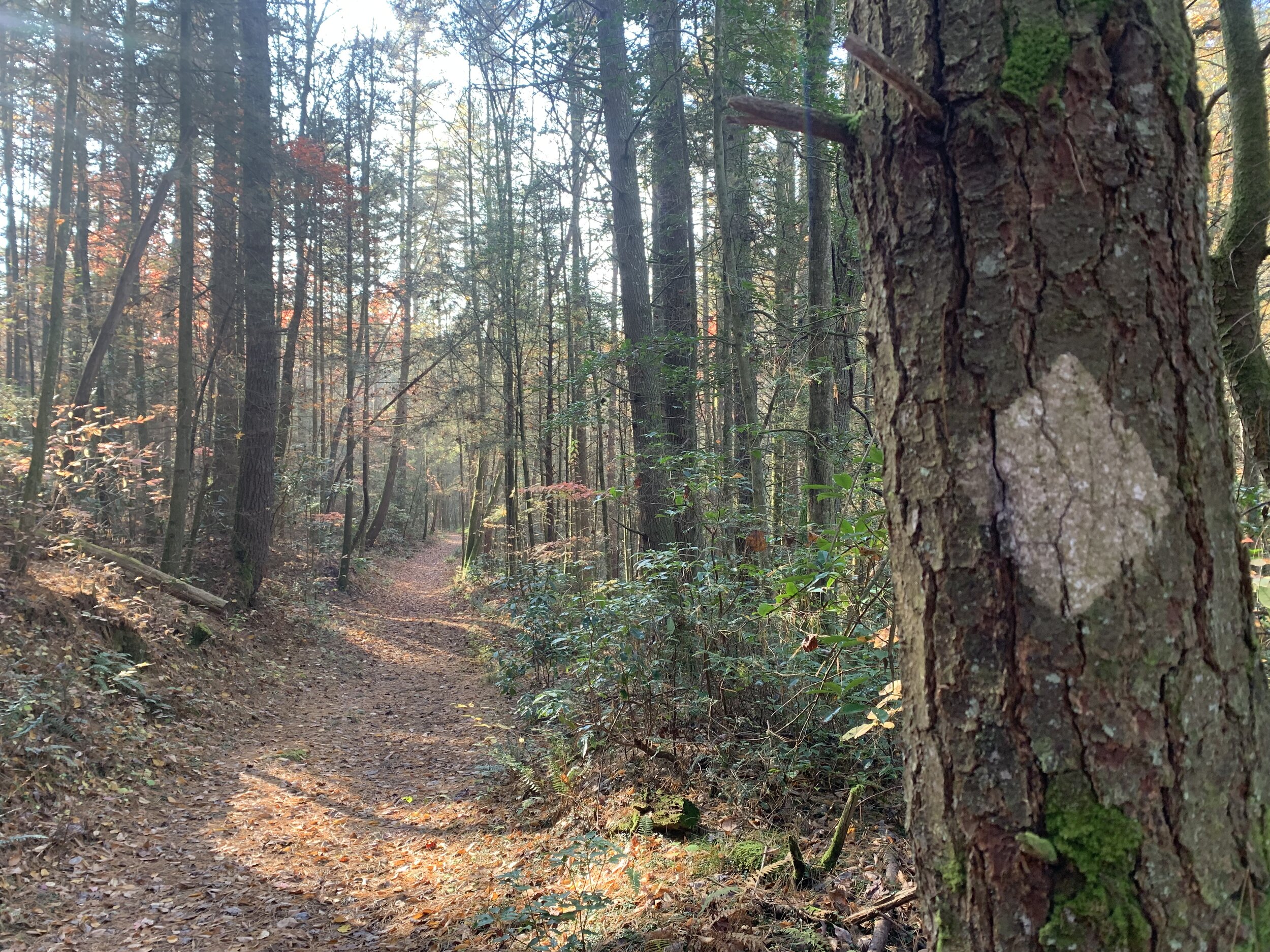
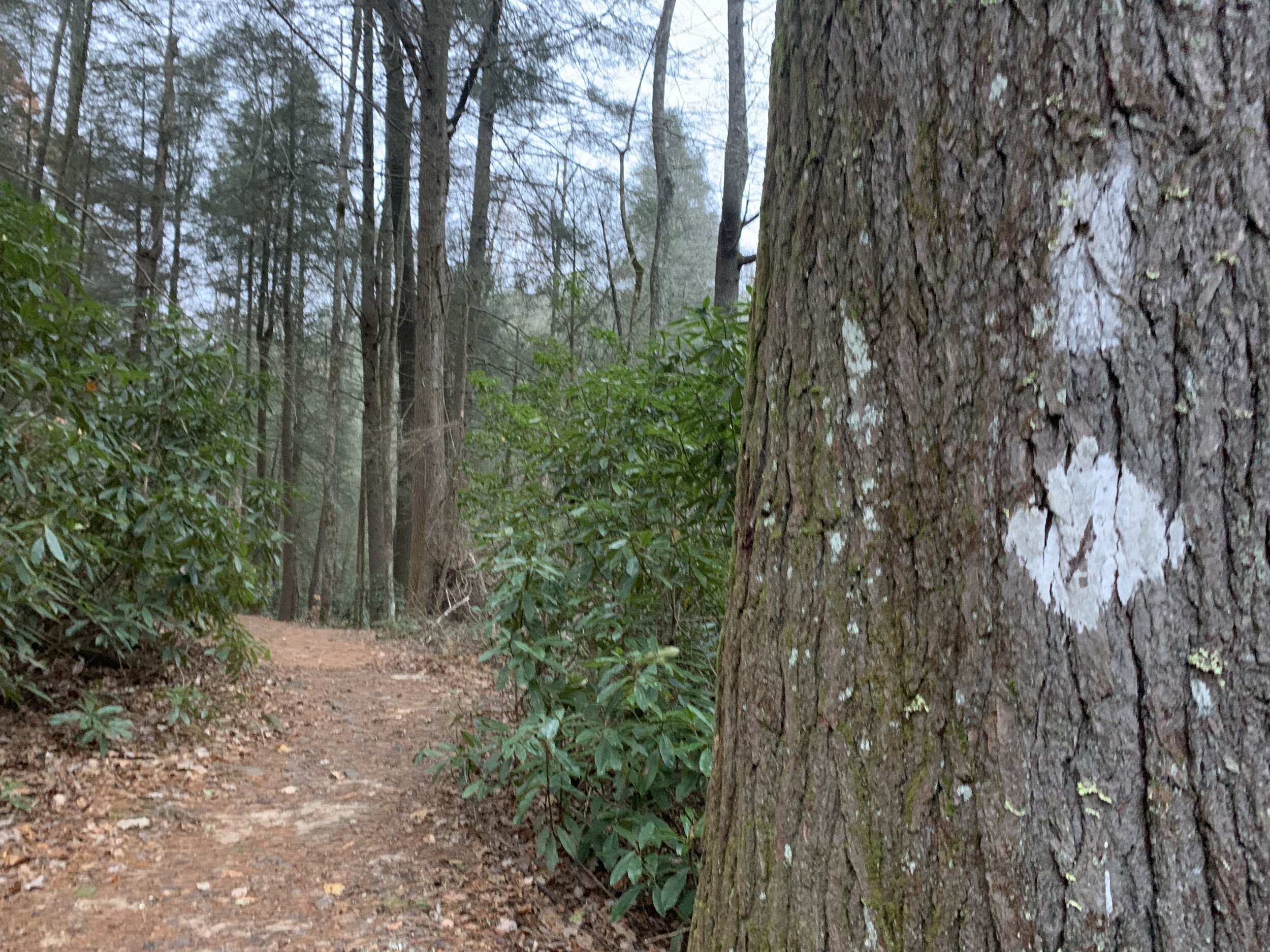
Once I was on the BMT I saw more thru-hikers in the first six miles than I did on the whole Pinhoti. 15 miles later I came to a road in a seasonal cabin community near Blue Ridge, got picked up by my dad, and headed back home with 57 miles to go till Springer. But I decided to take a break after finishing the Pinhoti Trail mostly because there were storms from a hurricane in the forecast for the next few days. But I also wanted to be home for Halloween to watch scary movies outside on my projector, plus I had to work the upcoming election as a poll worker, and then it would be my dad’s birthday, so I took an extended break… About ten days later I had been enjoying nice Fall weather for a few days and looked at the forecast and there was a good three day stretch so I decided to get back on the trail the next day.
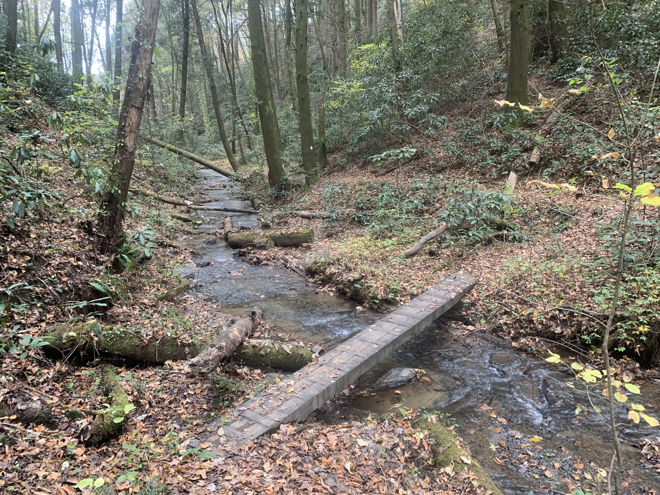
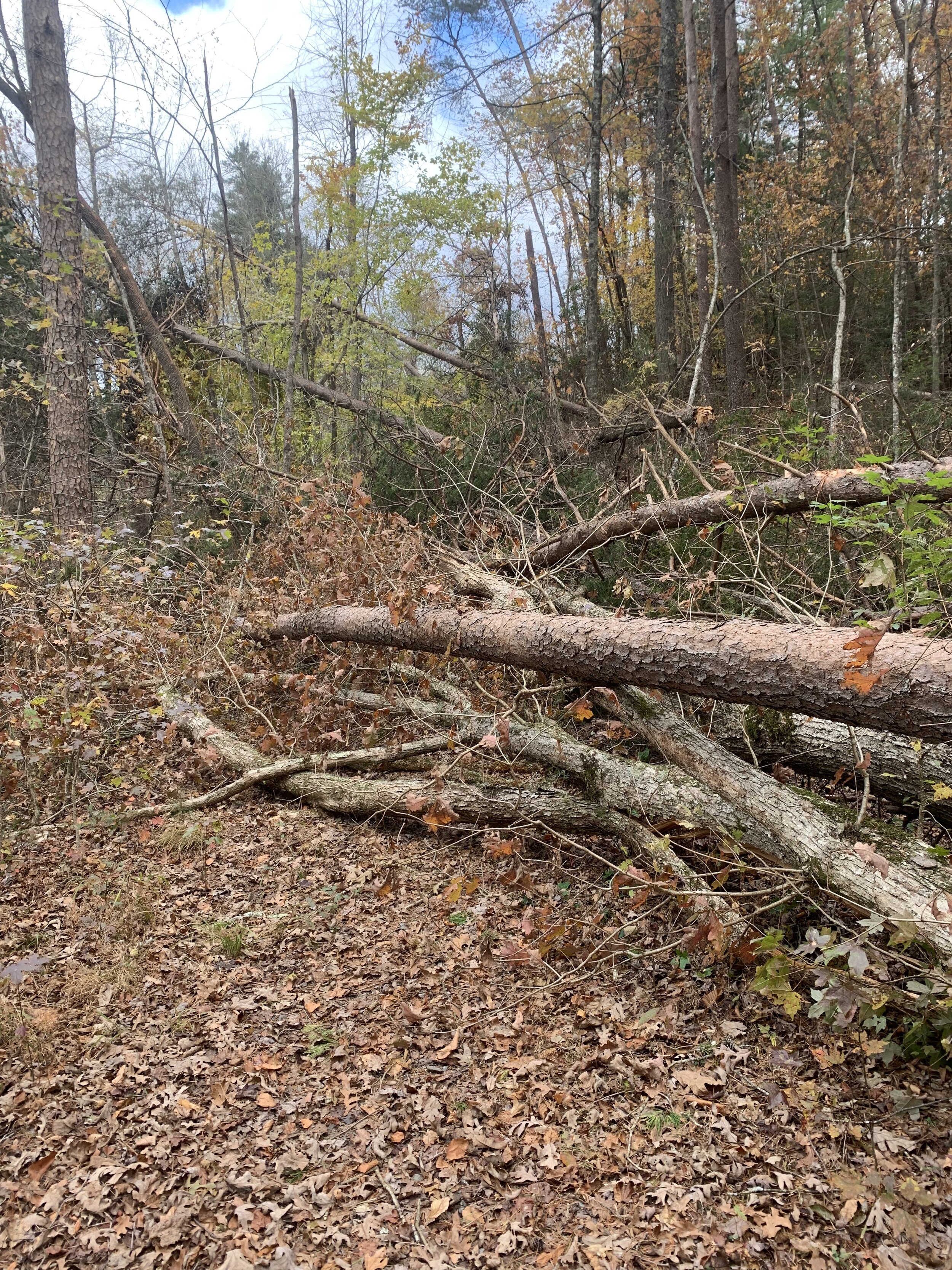
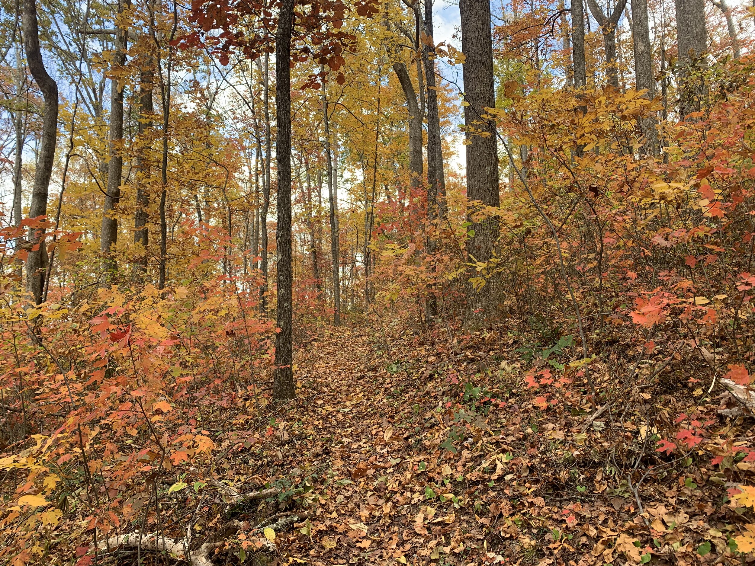
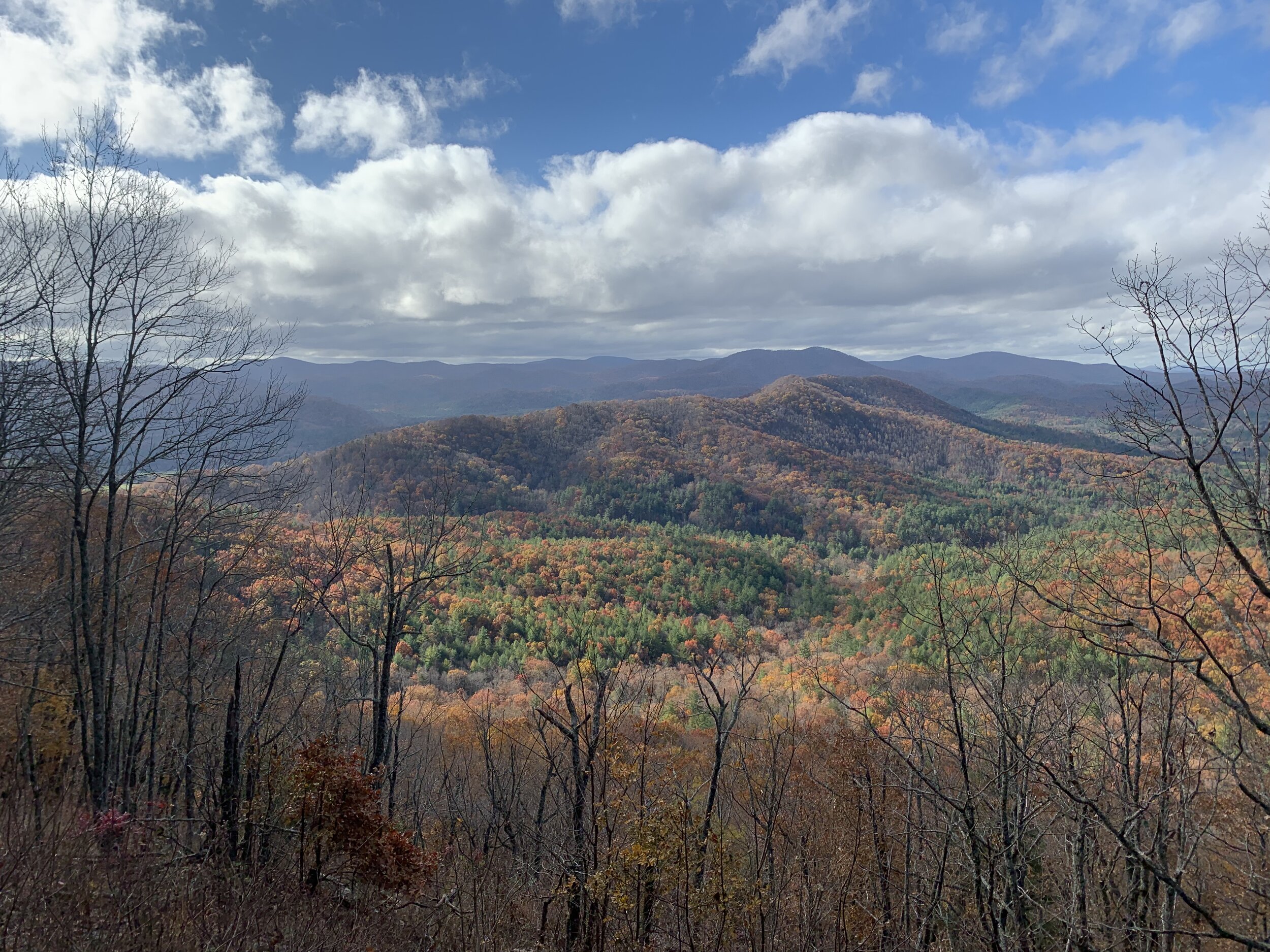
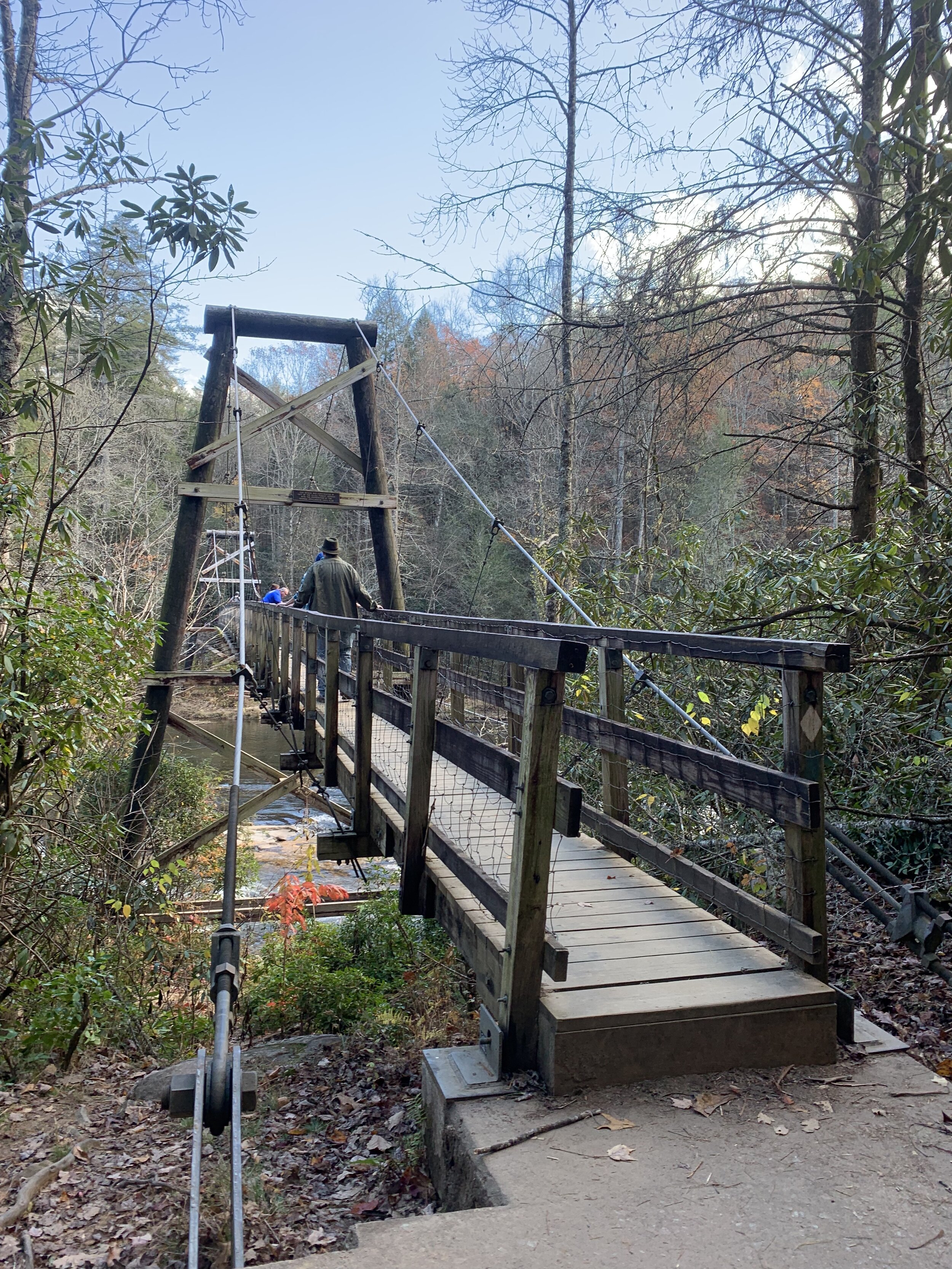
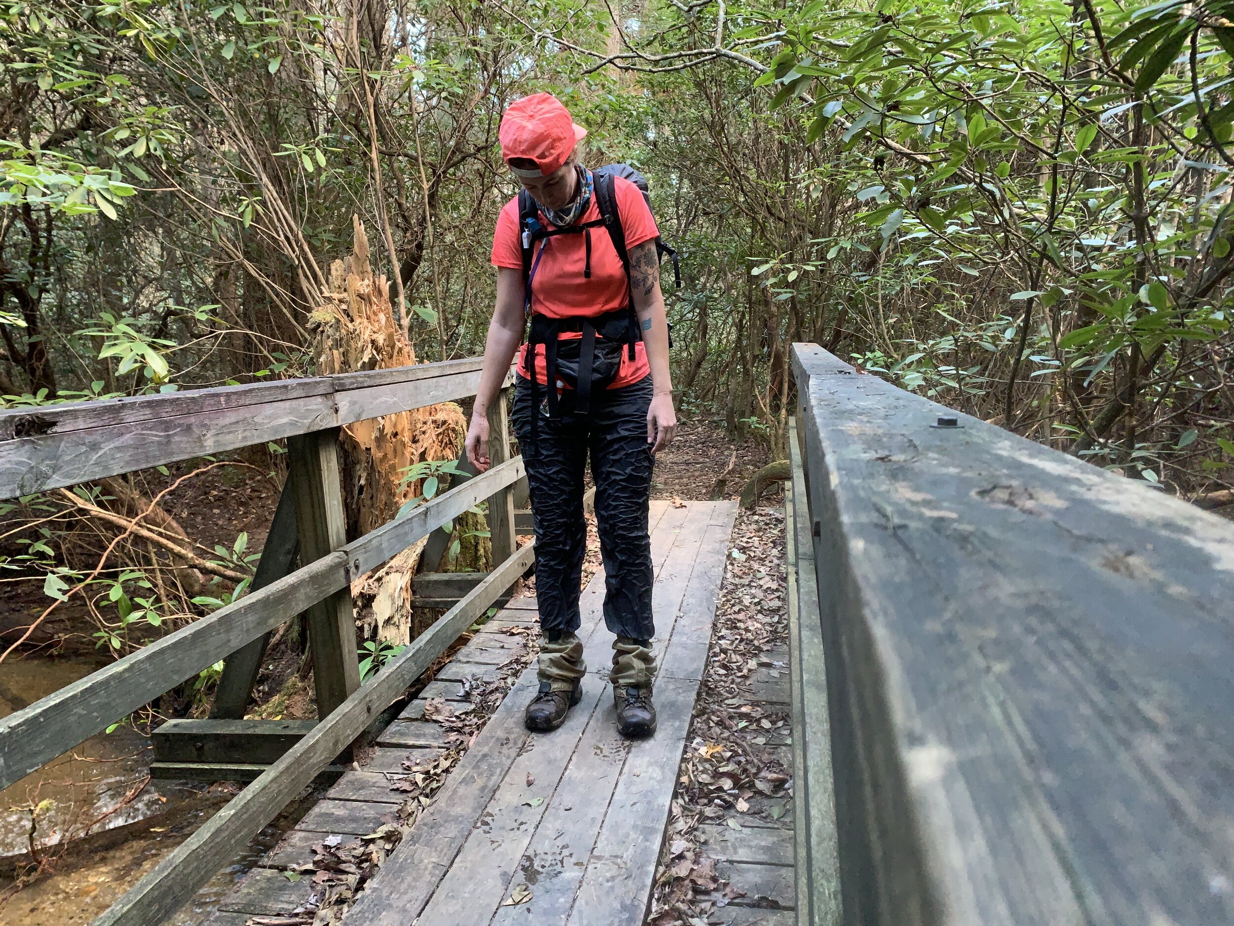
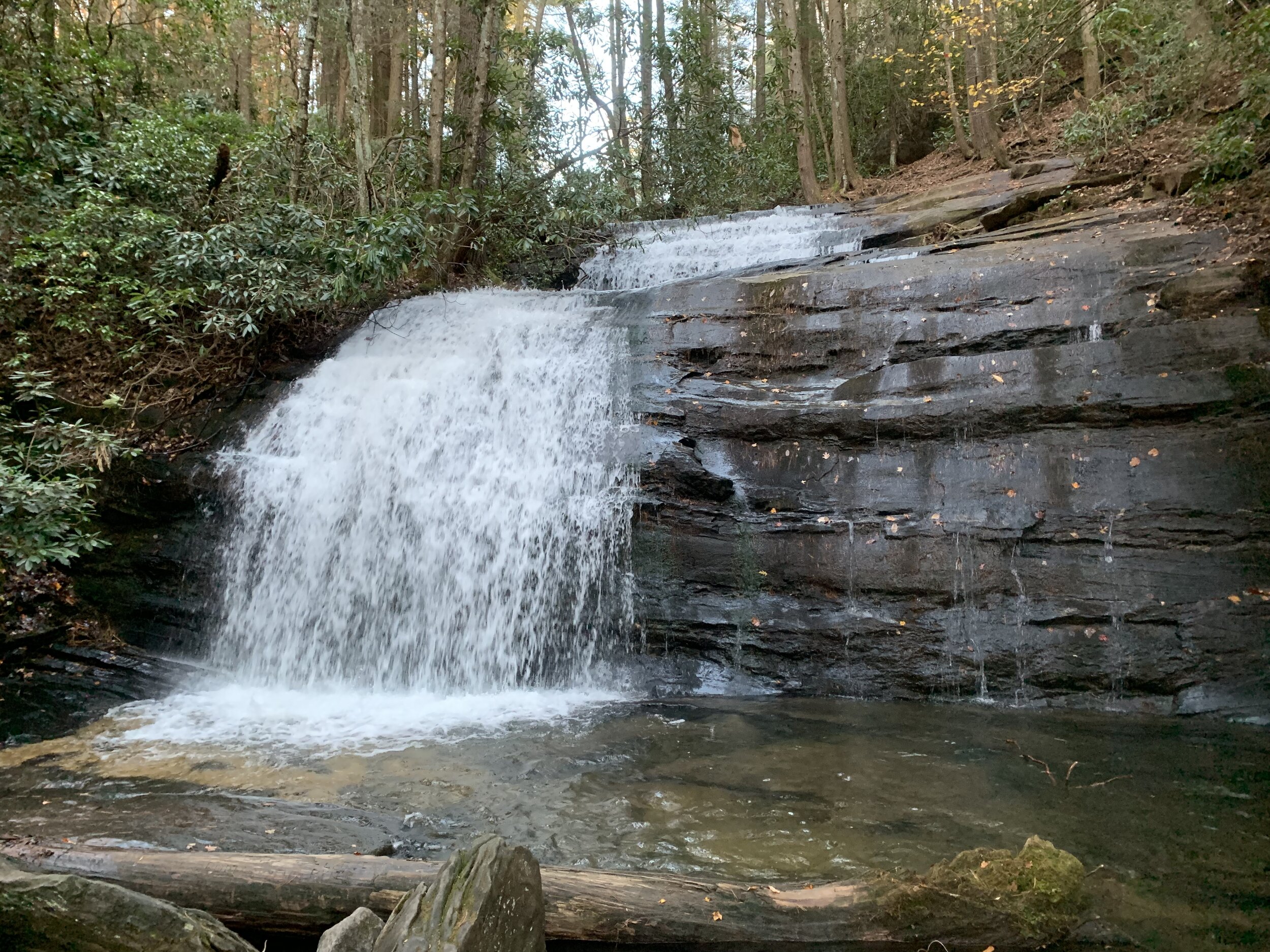
The last 50ish miles on the BMT were slow going; I felt as though I lost my trail legs in the brief 10 days I had been off trail plus the climbs increased and the mountains got higher so I struggled to make my daily mileage goals. Blowdowns from the recent storms also slowed my progress as I had to climb up, over, and around all the fallen trees. I had more road walks, passed several waterfalls, and crossed the Toccoa River on a big swinging bridge. Then the last day on the trail I did something I have never done before. I fell into a creek while collecting water. Moments like that I really wish I had a hiking partner, so they could have gotten that on camera. It is as ridiculous as it sounds and I attribute it to my impatience and arrogance, but luckily I was only a tenth of a mile from where I was planning on camping that night and it wasn’t that cold. See, what had happened was, I was trying to fill my water bag (a 32oz Sawyer bag) in the creek, but it doesn’t fill quickly if water isn’t dripping/pouring into it, so I decided to try filling it in a small waterfall in the creek. As I was leaning out to fill it, balancing precariously on the bank and holding onto a tree for support I must have lost my balance and tumbled in. There was the initial flailing about in the water and the shock of it all, trying to catch myself from going in all the way but there was no way to save it and I just plopped right into the deep spot. I must have stood up and was in up to my hips and I quickly looked down to make sure my phone was still in my fanny pack and hadn’t fallen out, *phew, it was still there and I wasn’t worried about it being wet as I have a Lifeproof case. By then there wasn’t any rush to get out since I was already soaked so what’s the point; I then carefully climbed back onto the bank on all fours. After the compulsory self-timer photo evidence of my accident I proceeded waddling down the trail with water squishing in my boots with every step. Since this has never happened before I didn’t really know how to proceed, but I decided I might as well go check out the nearby Long Creek Falls first. Then I came back to the campsite, started a fire thinking I could dry some things out, set up the tent, and started cooking dinner. Surprisingly by the time I was going to change into my dry sleep clothes my nylon pants were mostly dry although I was dismayed to find a big rip in the butt, perhaps from the fall in the creek or quite possibly from the dozens of blowdowns I booty-scooted across on the trail (YouTube video of me repairing the pants below photos). Then while I was trying to dry my boots by the fire I started to notice that the foam was melting off, so much for that. I retired to my tent and had a sleepless night due to being paranoid by a creaking tree nearby that I feared might fall on my tent during the night. …And that’s a typical day in the life of a thru-hiker.
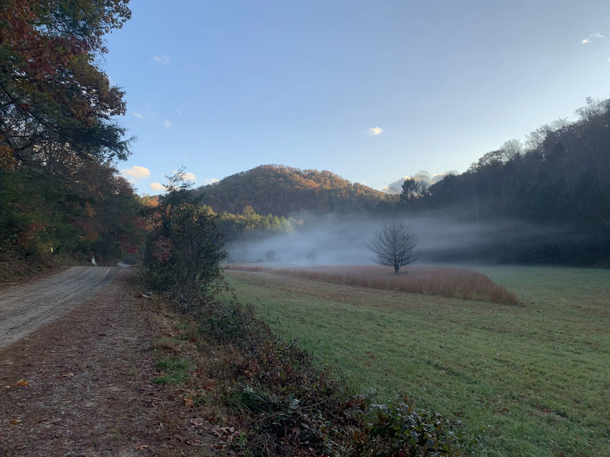
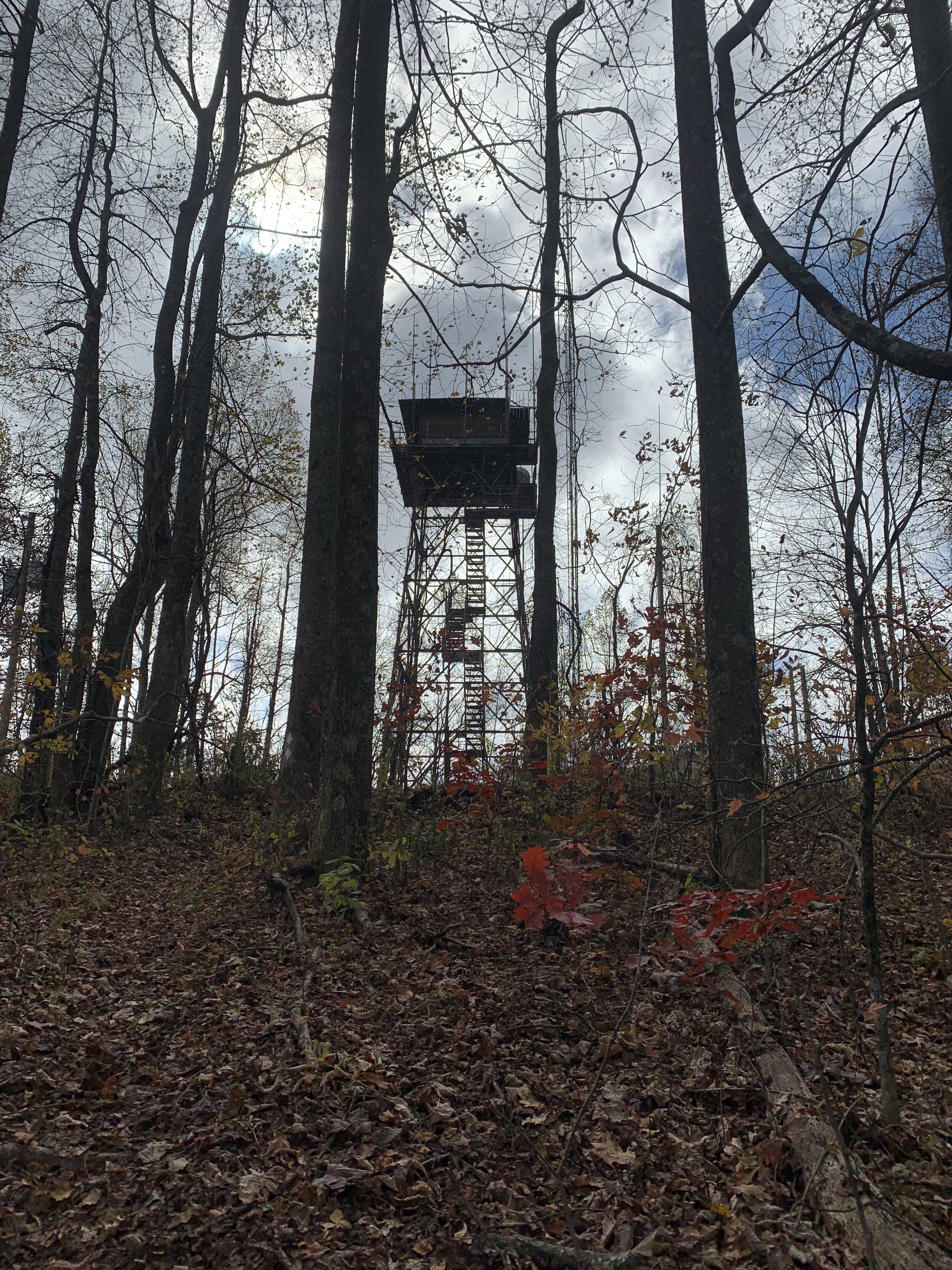
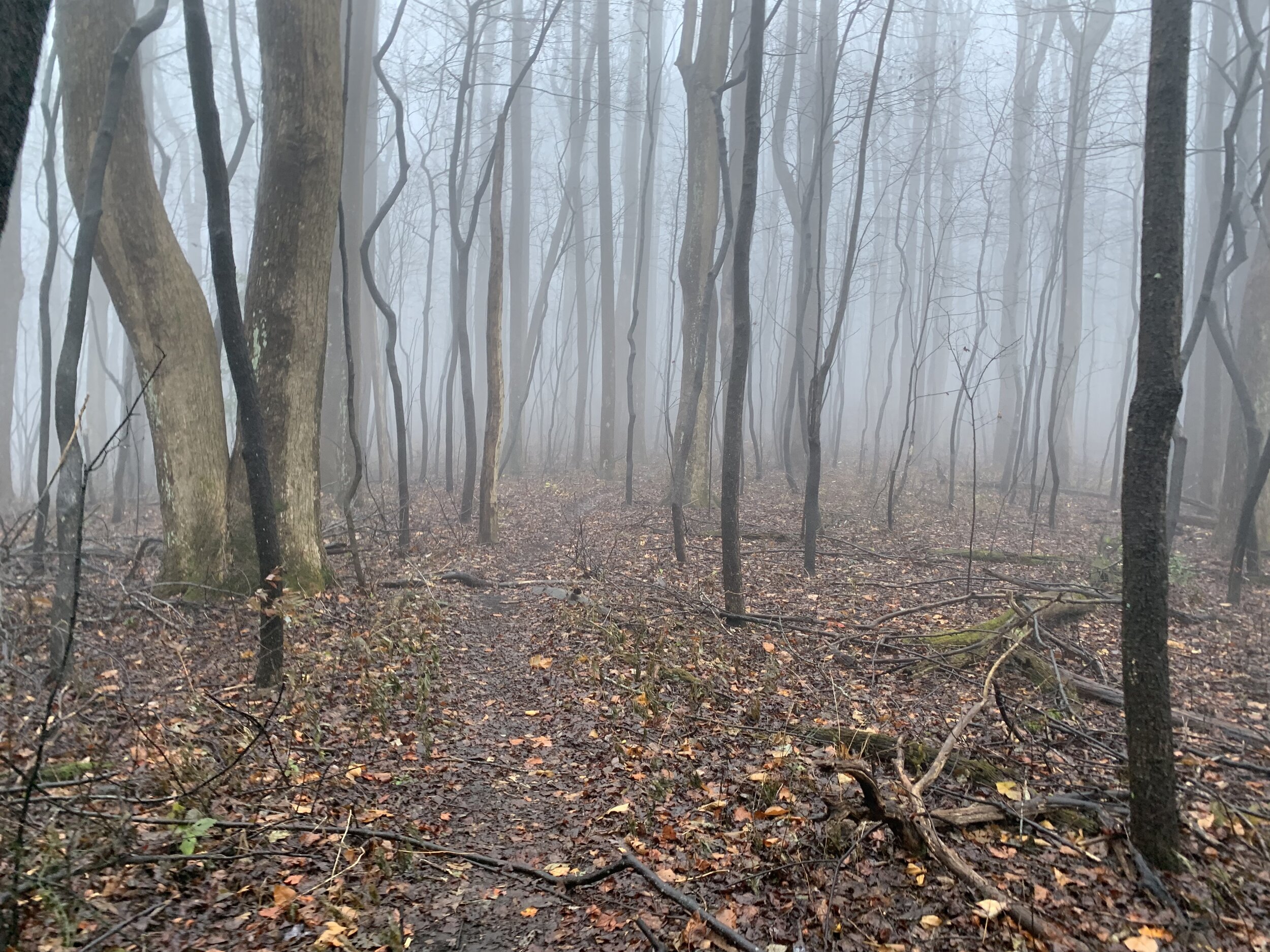
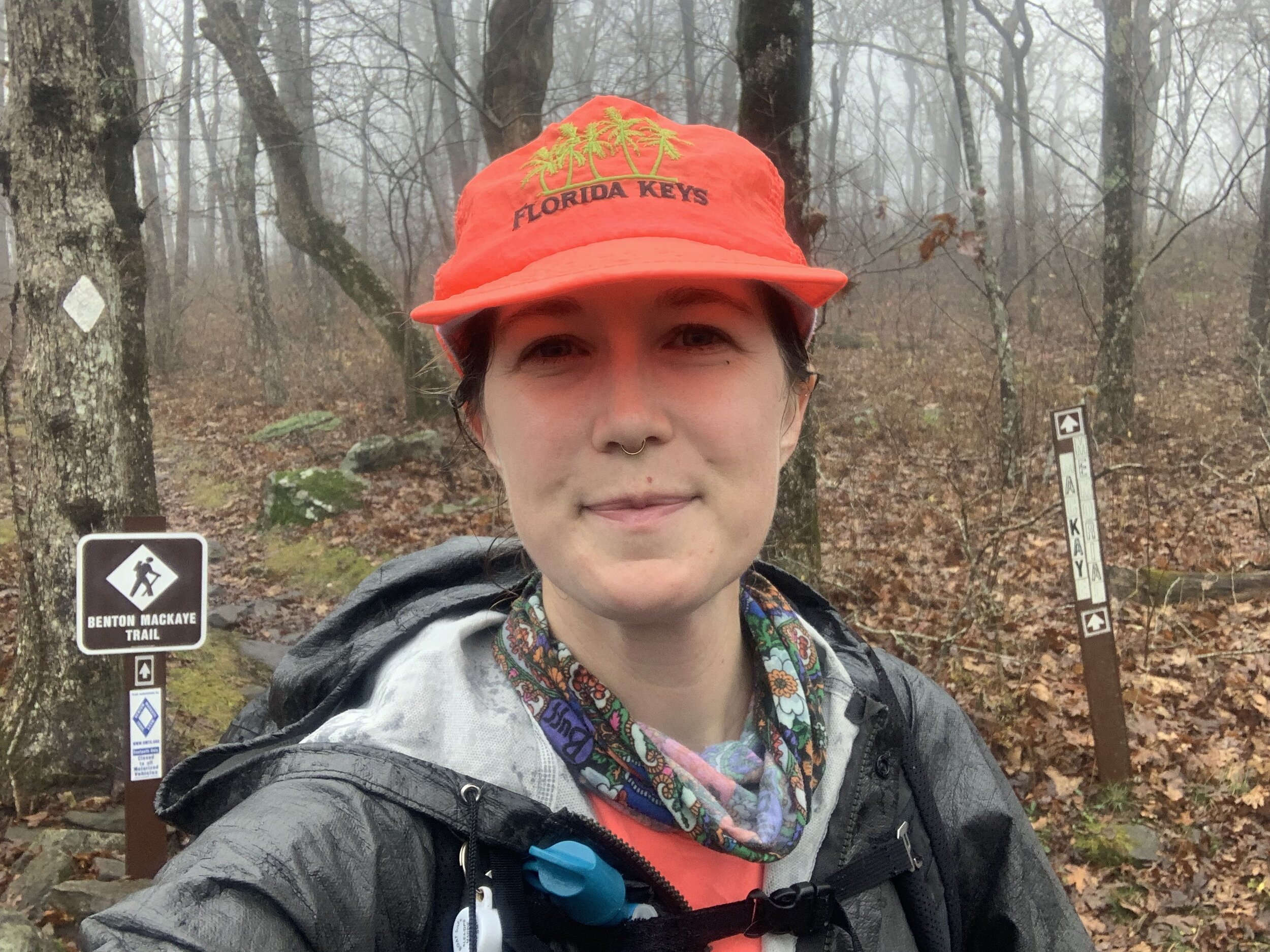
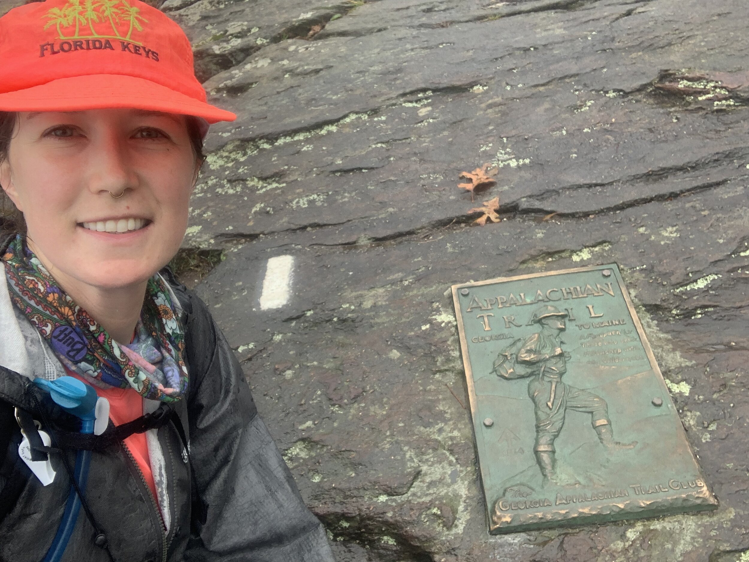
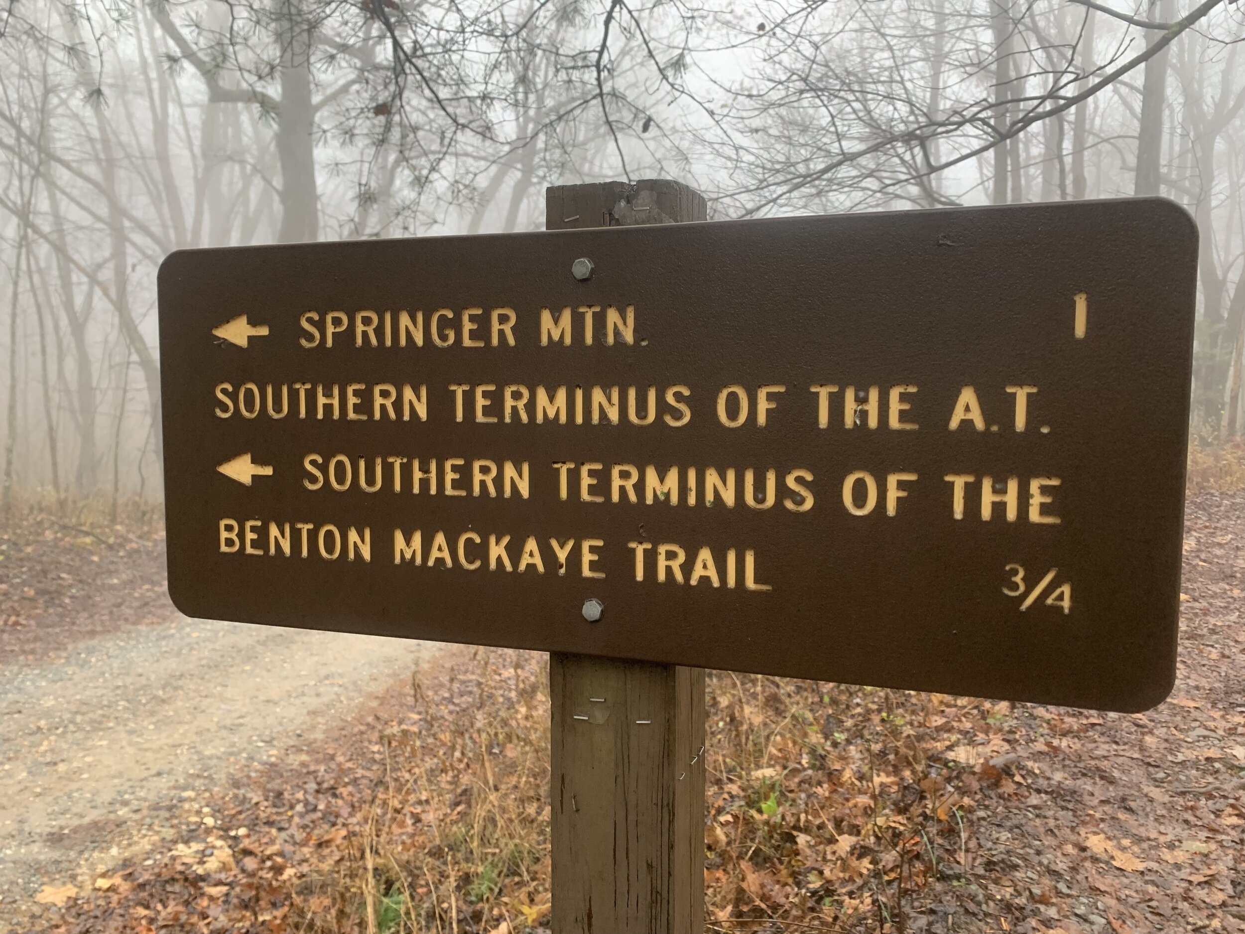
Alas, the next morning I got an early start and quickly hit the Appalachian Trail and joined that for about a mile. At Three Forks the trails split and I started climbing up a mountain in spooky conditions of fog, wind, and mist. Over the next couple miles I criss-crossed the AT and eventually started the climb up Springer. The BMT ends when it hits the AT just .2 north of the summit of Springer. So I hustled up to tag the peak, acknowledging that now I have summited Springer 3x from 3 different directions (AT, BMT, Approach Trail). I signed the logbook and headed back the .9 to the parking lot where my dad was waiting. Thus concludes 370 miles hiked on the Pinhoti and BMT (would be around 420 but I skipped those 50 mile of road walks on the Pinhoti). And the Appalachian Connector Trail is done. Now my sights are on finishing the range up into Canada. And I’m sure at some point I’d like to finish up the BMT.
Big thanks again to my dad for helping me get back and forth to the trails!