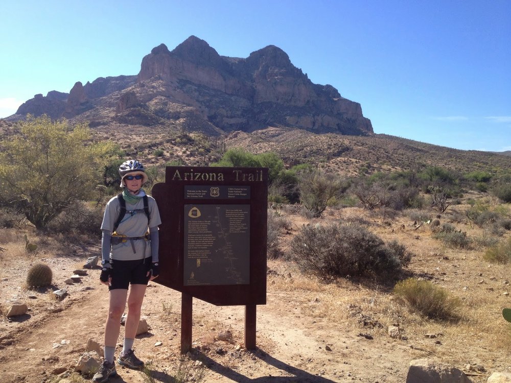
Arizona Trail Part 2: Sky Island Scenic Byway to Apache Lake
Arizona Trail Part 1: Mexico Border to Saguaro NP
Saturday May 17
After biking a couple of miles up the continually ascending road I decided to stop and continue to the top via car.
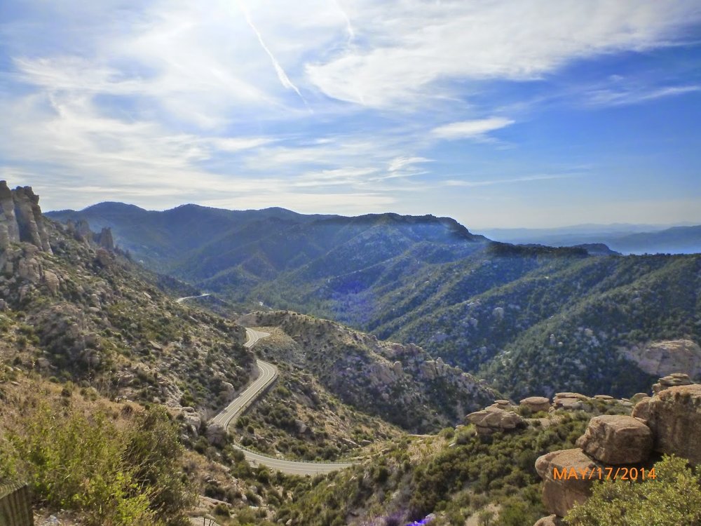
View of the Sky Islands Scenic Byway
At the top of Mt Lemmon near the ski area, we took the unmaintained control road down to Oracle. Even the gravel forest service road allowed me to reach speeds in the 20s but nerves and switchbacks had me on the brakes. After 16 or so miles I had enough and rode in the car the remaining few miles to Oracle. Then from there I joined the trail at American Flag Ranch and rode to the next road crossing.
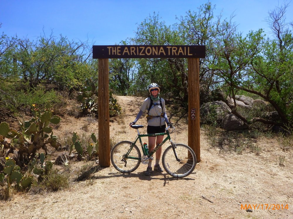
American Flag Ranch Trailhead
We breaked for lunch in town and then I was back on the trail. After 5 more miles I stopped for the day and we drove to Kearny to camp by their lake.
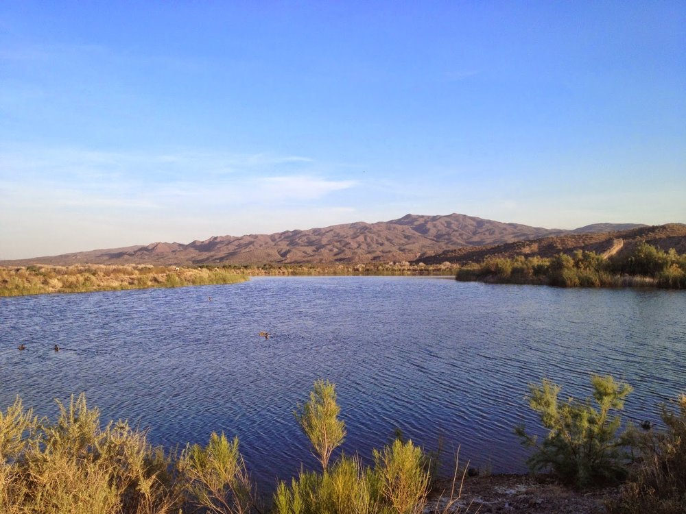
Kearny Lake
Sunday May 18
Drove to Kelvin and I got on the trail by the Gila River. After a mile and a half I realized I was going the wrong way (South) and turned around. I was supposed to be on the North side of the river. So after the three mile detour I got back on the trail going the right way. This was the last section of the trail to be completed in December 2011.
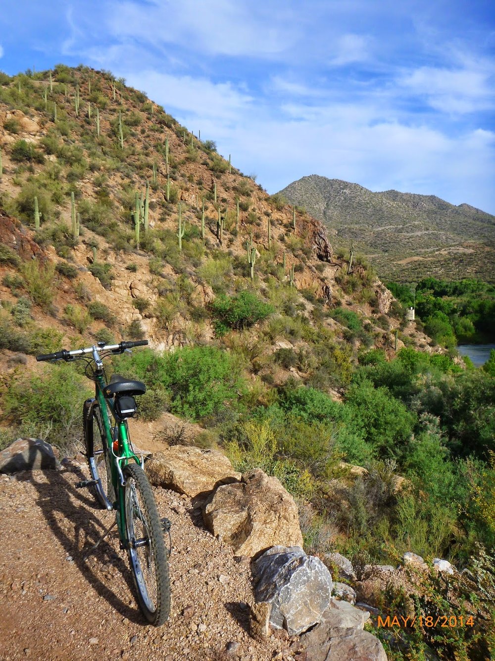
Gila River to the right
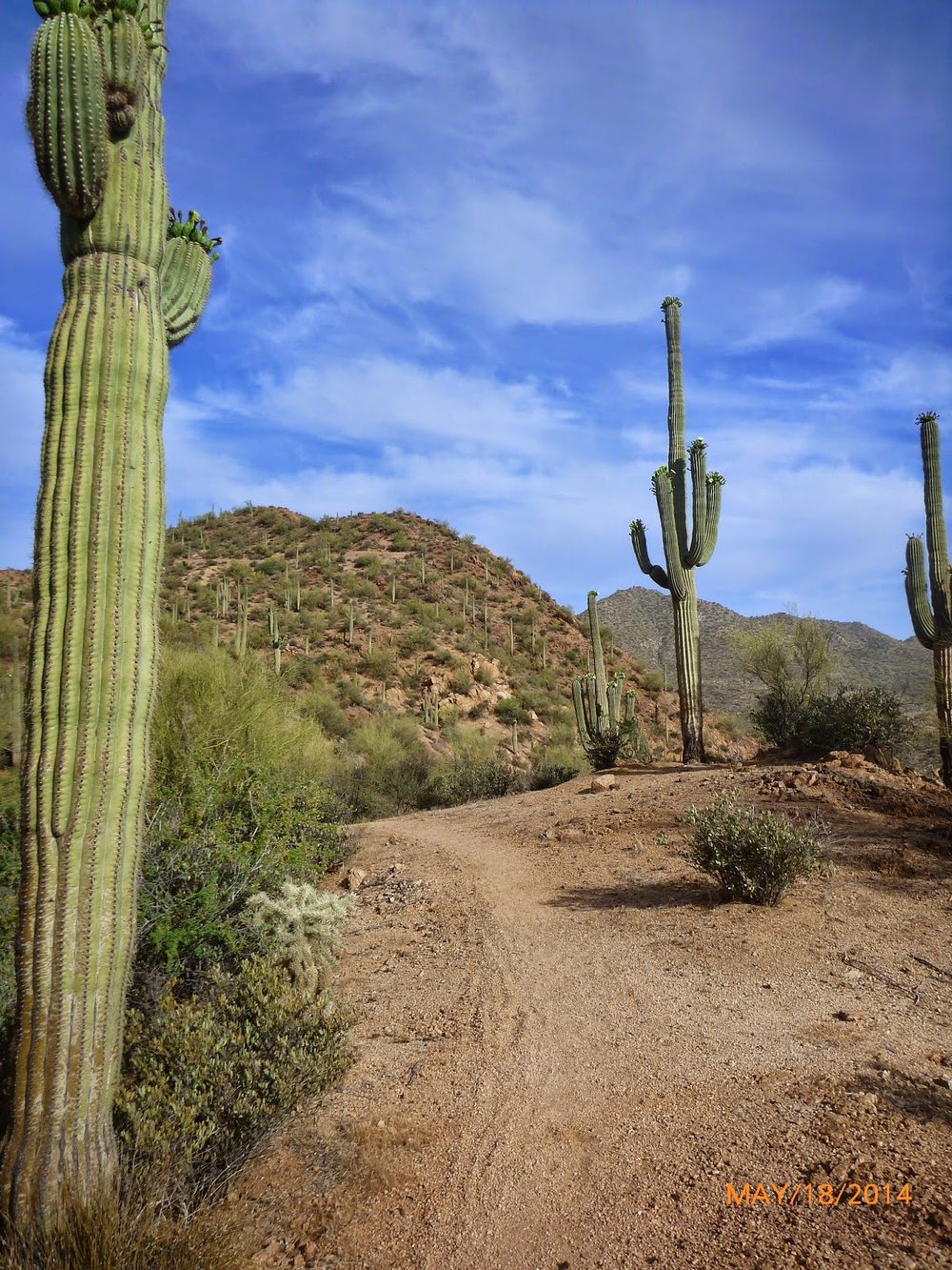
Saguaro's guiding the way
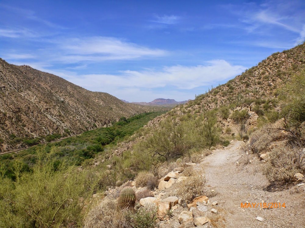
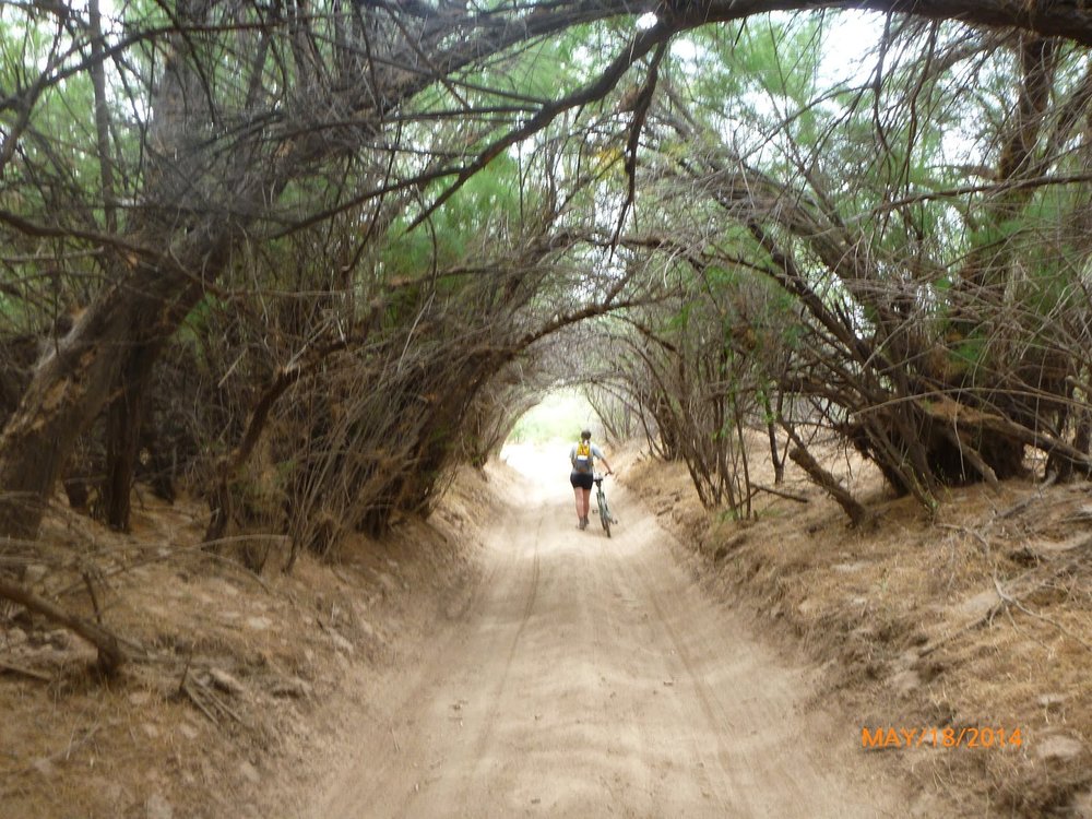
I followed the Gila River and train tracks for 16 miles. I wasn't down by the river but on the hill edges above it.
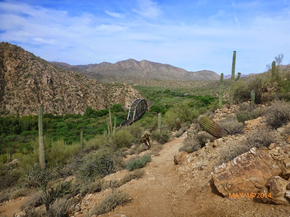
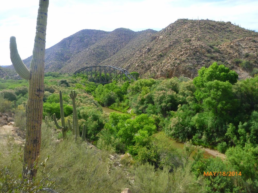
I got off the trail and crossed the river at the area of Cochran. It was a stressful experience for my mom to find the old townsite. She drove many miles down a dirt road to nothingness. Even with gps, phones, and a spot, it was still hard to figure out our positions due to lack of service. Thank goodness people were spending time by the river or I might not have known where to cross. Once we found each other I went to sit in the river. What a nice way to cool off after a hot strenuous day on a bike. We stayed in Florence that night.
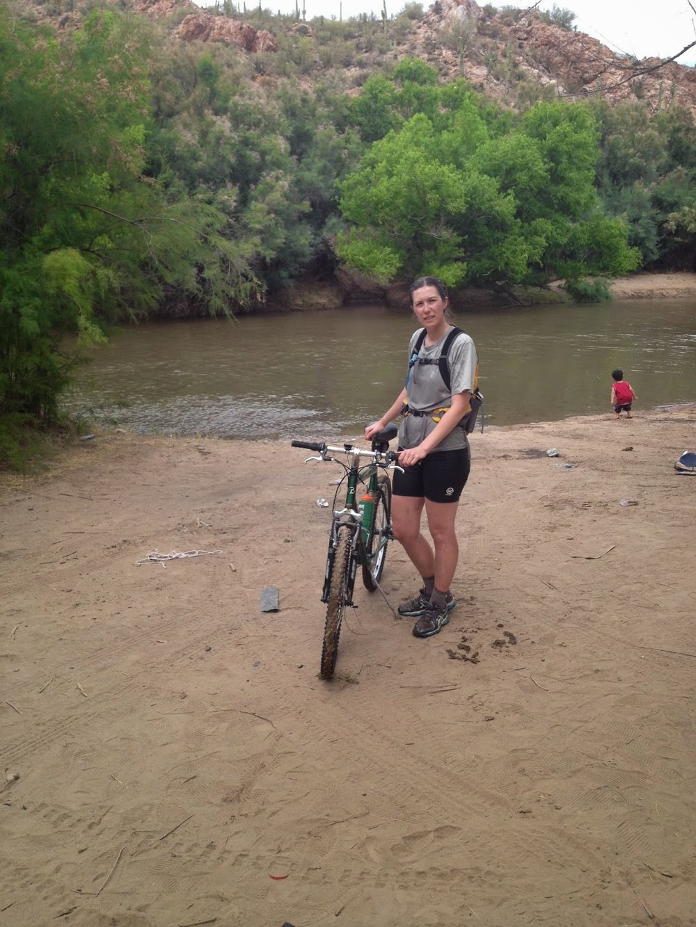
After crossing the river
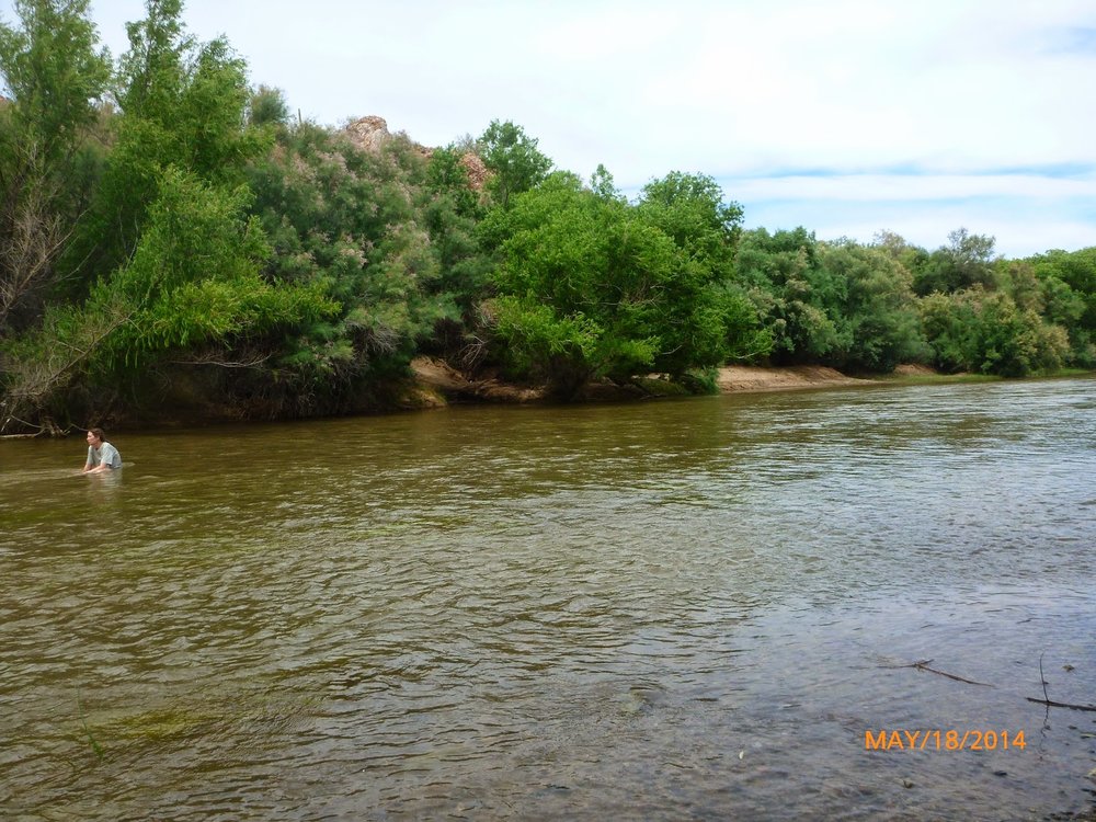
Taking a break in the river
Monday May 19
The start of two days of road biking. We drove on Hwy 60 to the picketpost trailhead just west of Superior and a mile from the Boyce Thompson Arboretum. I got on the trail and then got onto Hwy 60, then a forest road, then back on Hwy 60, right on Mountain View, right on Apache Trail. Took a rest break after 32 miles at the Superstition Mountain Museum and Apacheland in Apache Junction. A nice cold sasparilla was our treat.
Picketpost Trailhead
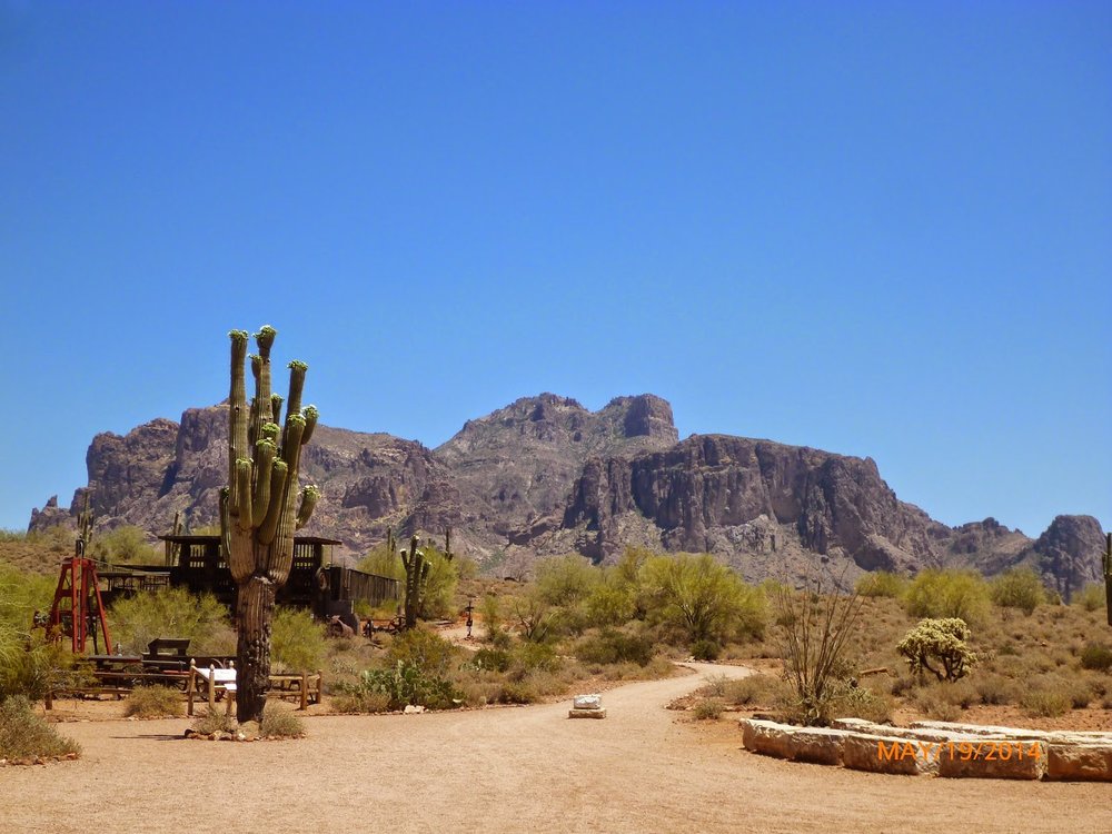
Superstition Mountain at the Lost Dutchman Museum in Apache Junction

Then I continued on the Apache Trail to Canyon Lake. I'm glad I had this road detour because I never would have known about the area otherwise.
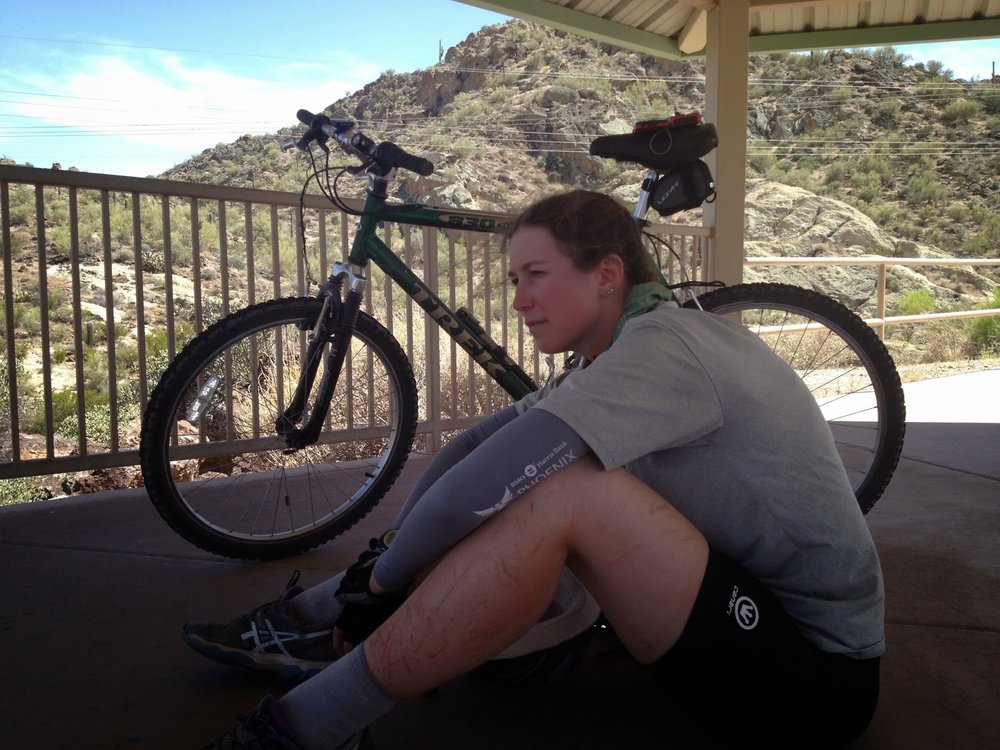
Taking a break looking out over Canyon Lake. Check out dem scratched up legs.
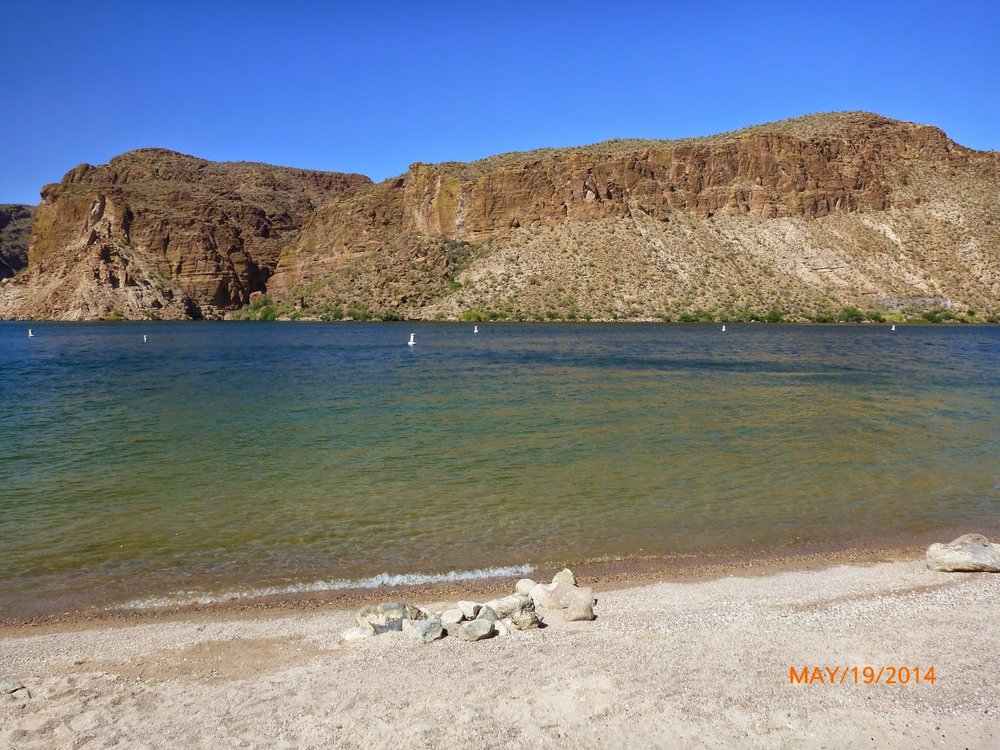
Canyon Lake
After taking a break in the lake, I continued two more miles to Tortilla Flat where we treated ourselves to some prickly pear ice cream.
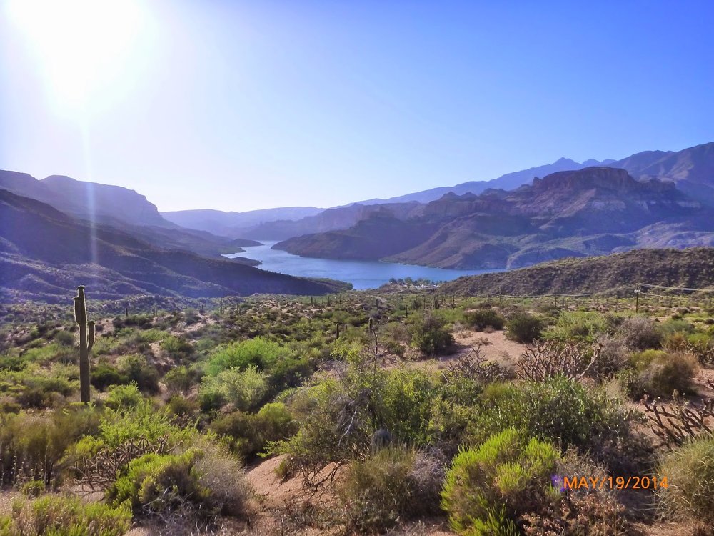
Apache Lake
I called it done for the day at 44 miles total. Then we drove on a gravel road to Apache Lake and camped at Burnt Corral Campground. We found a nice spot by the lake and I immediately got back in the water. A nice end to a long day. A coyote laid down and watched us while we ate dinner and then started calling other friends over but we never saw any others.
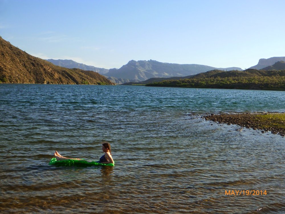
Relaxing in the lake after 44 miles of bike riding
Next post: Roosevelt Lake, Tonto National Monument, Payson, Mogollon Rim, and the North Rim!
