Annapurna Circuit: Part 3
Continued from Annapurna Circuit: Part 2
Vlog #6 - Marpha to Naya Pul. Last Vlog
[Here’s an article I wrote for TheTrek.co about my hike: How to Hike Nepal’s Incredible 150-Mile Annapurna Circuit]
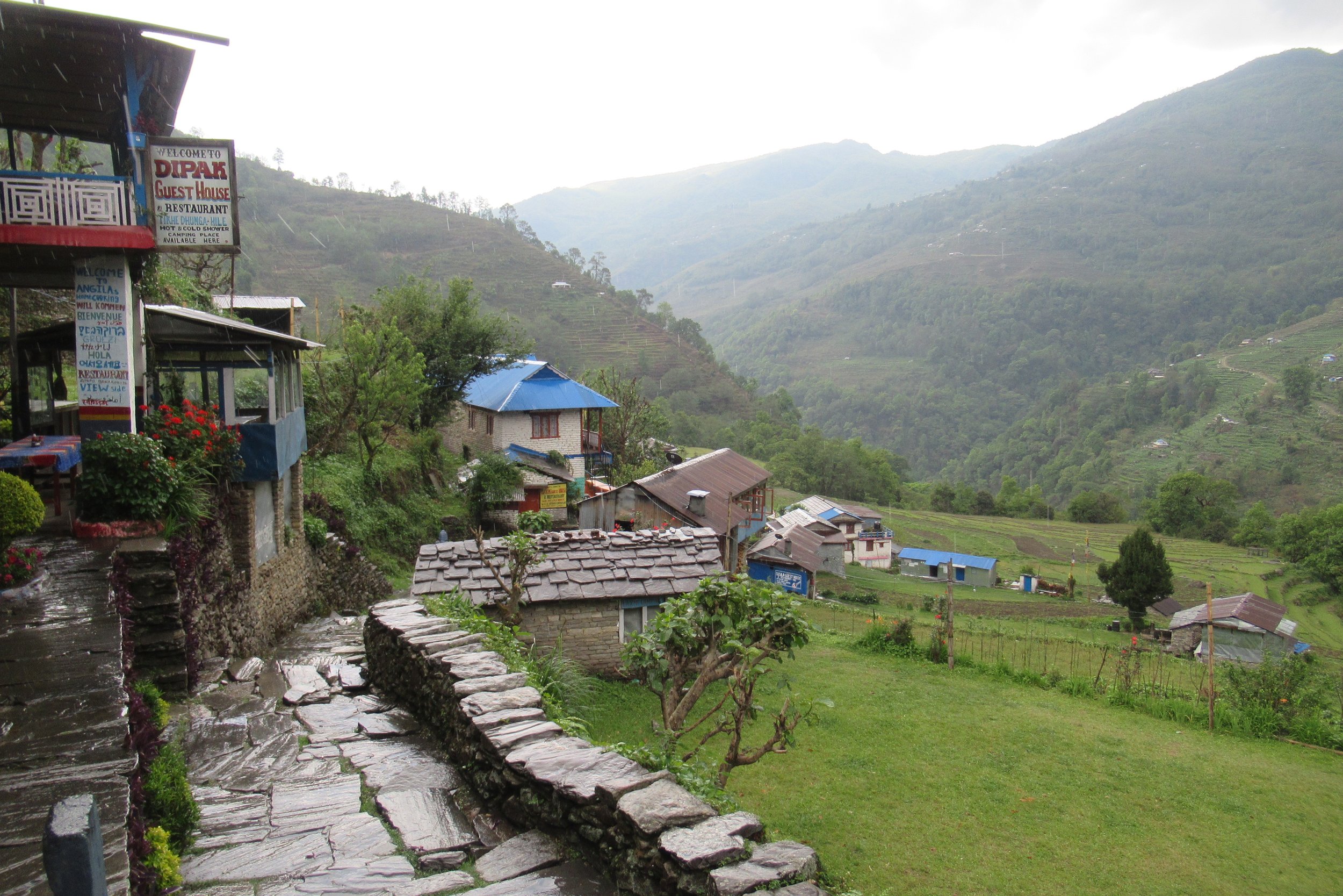
April 27: Marpha to Kalopani -2530m/8,300ft (elevation of Kalopani)
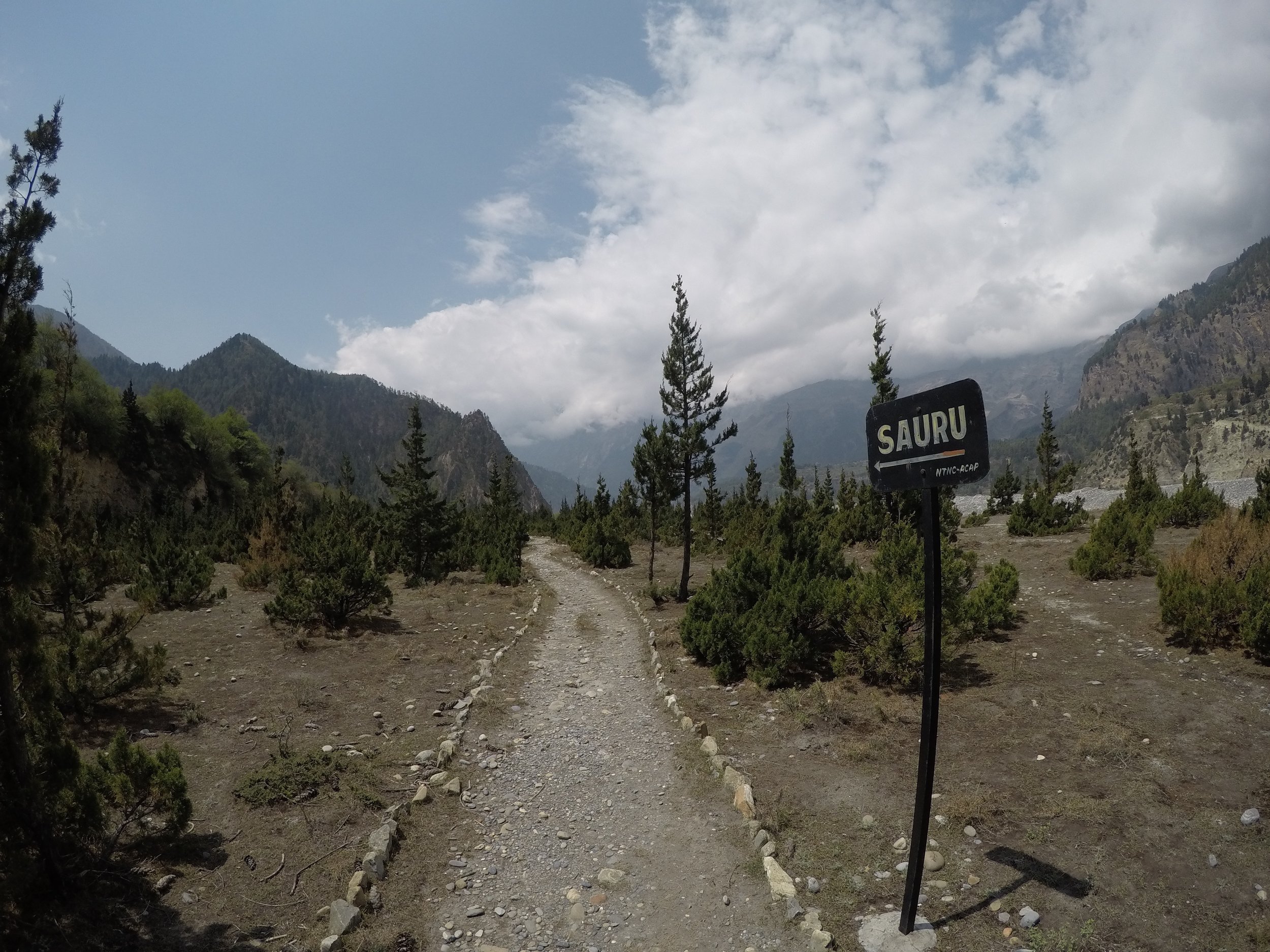
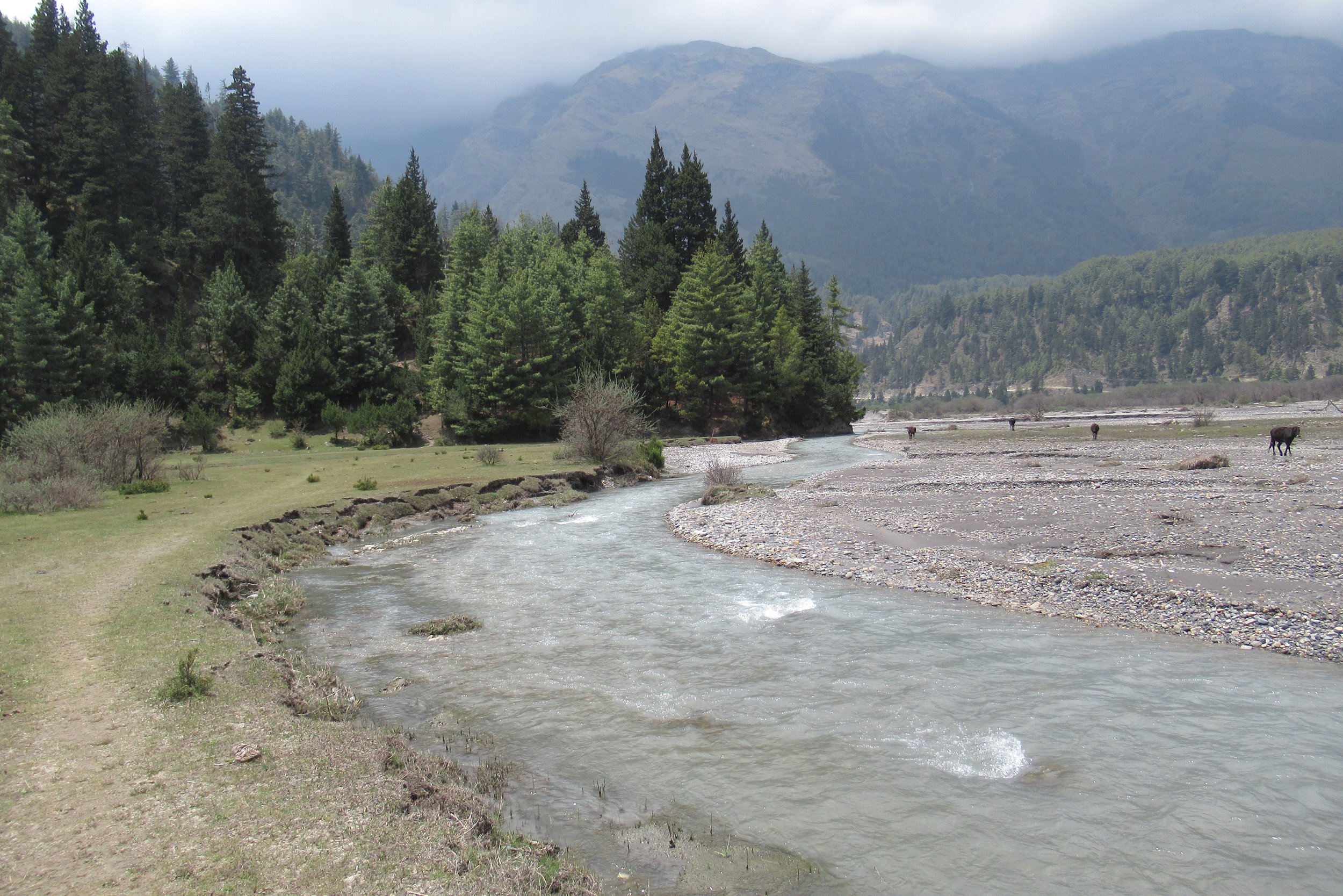
After walking with Kate to the edge of town we split and I kept walking down the trail. It was nice to have a hiking partner the past several days and I would miss her company. Today's hike turned out to be great, probably one of the nicest of the whole trek, and a good makeup for the horrible previous day's hike. The terrain was mostly flat with only a couple uphill climbs and I followed the Kali Gandaki river the whole day. One strange part was when I went through a military training area with guns set up, and I must have walked passed 50 men coming from the opposite direction. I definitely felt my alone-ness at that point. The rest of the day I passed sleepy villages with locals lounging outside-what a beautiful life. I arrived in Kalopani in the early afternoon but I decided not to continue as the weather was threatening a storm and it started to sprinkle. I had a good meal and a quiet night.
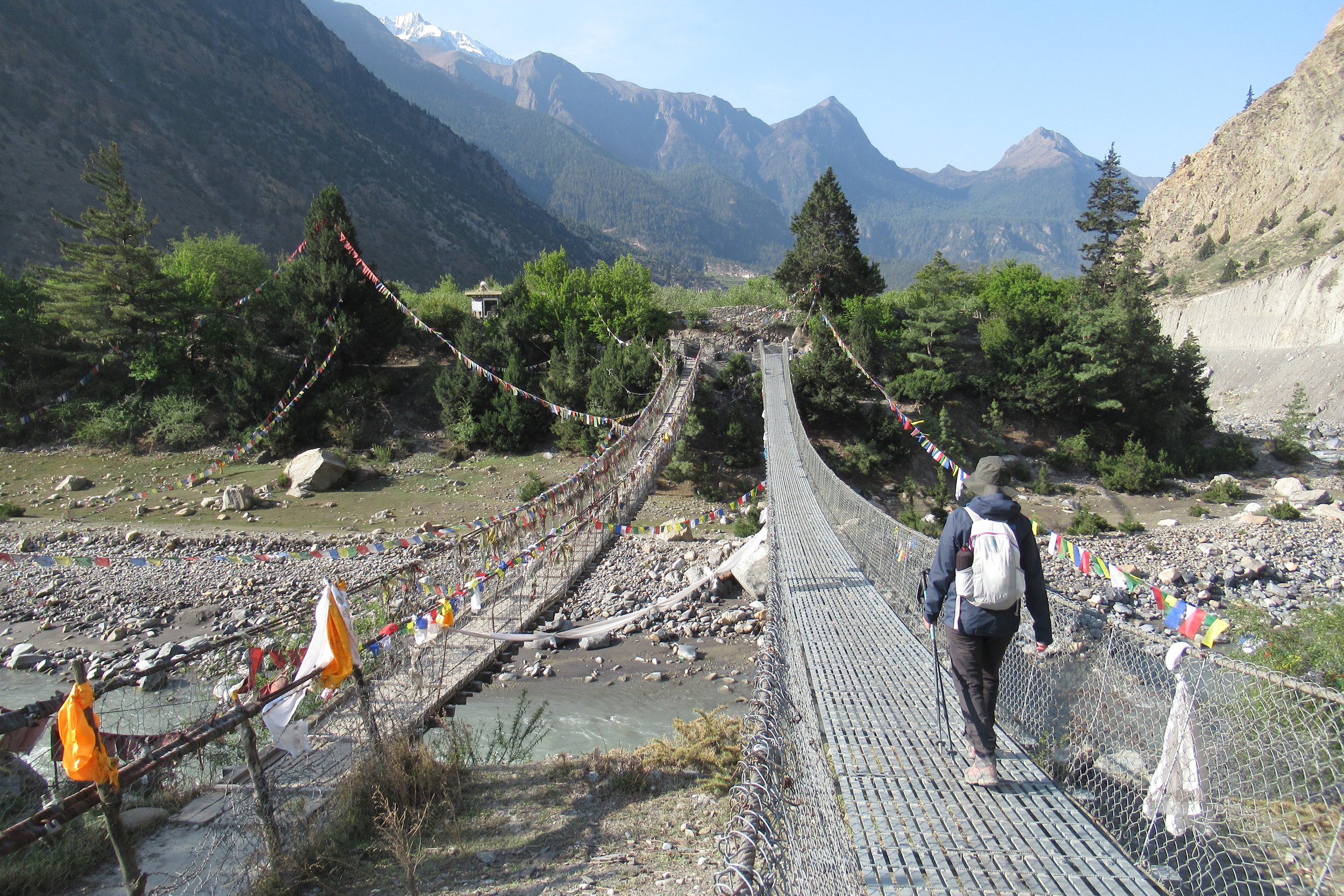
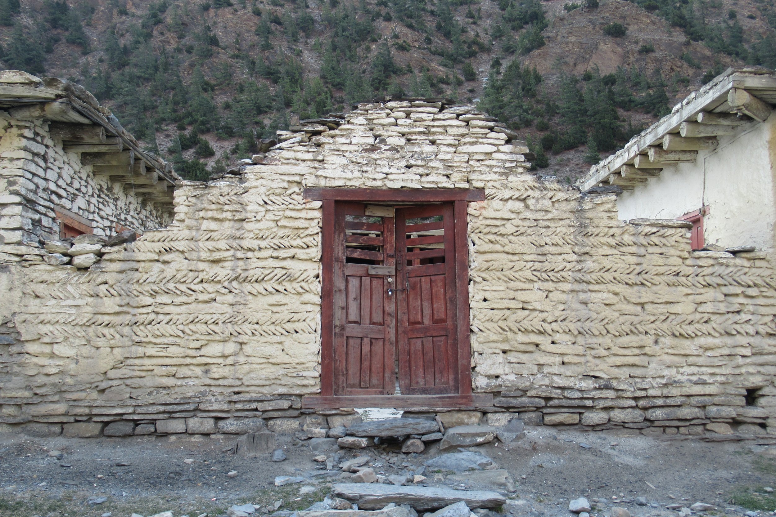
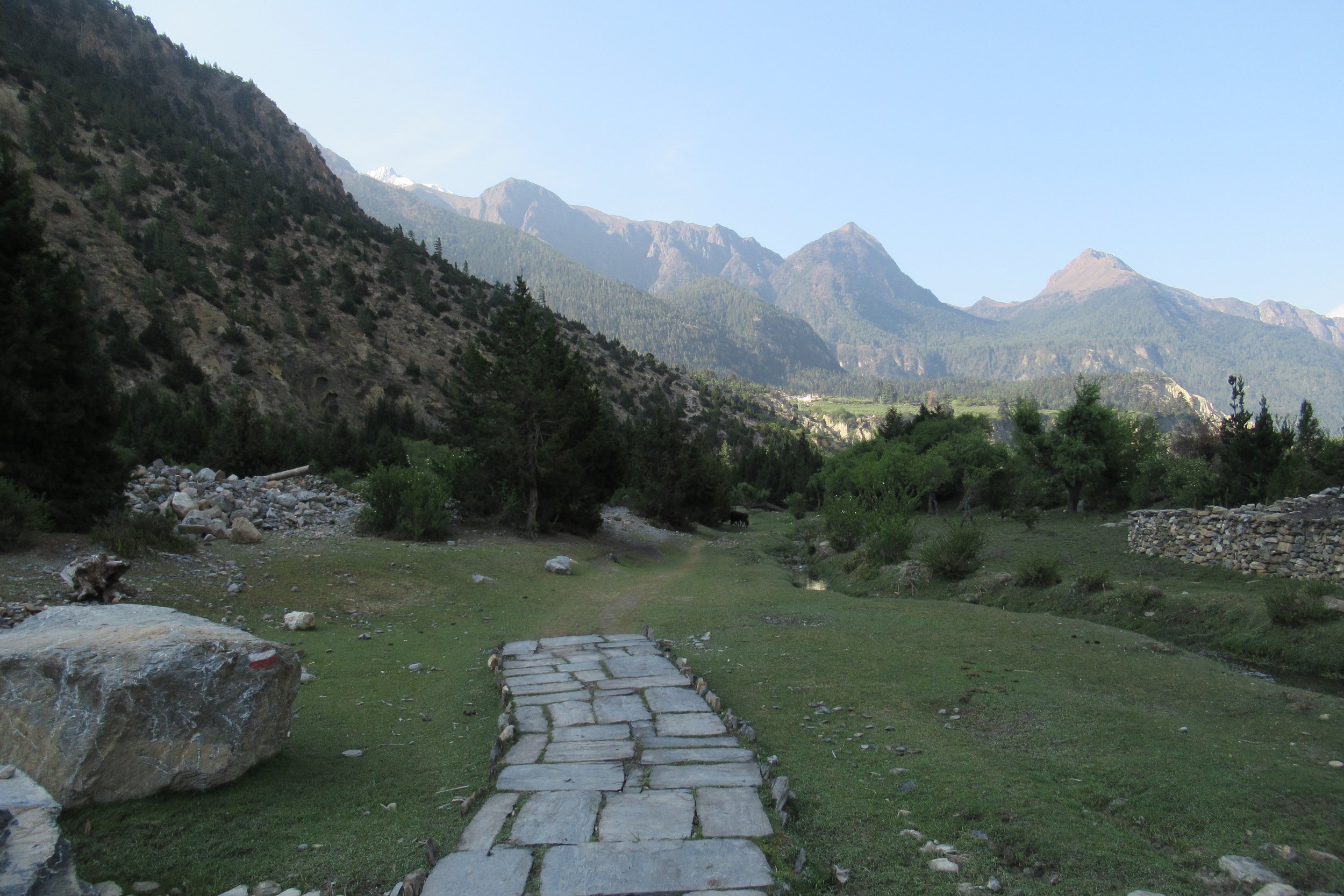
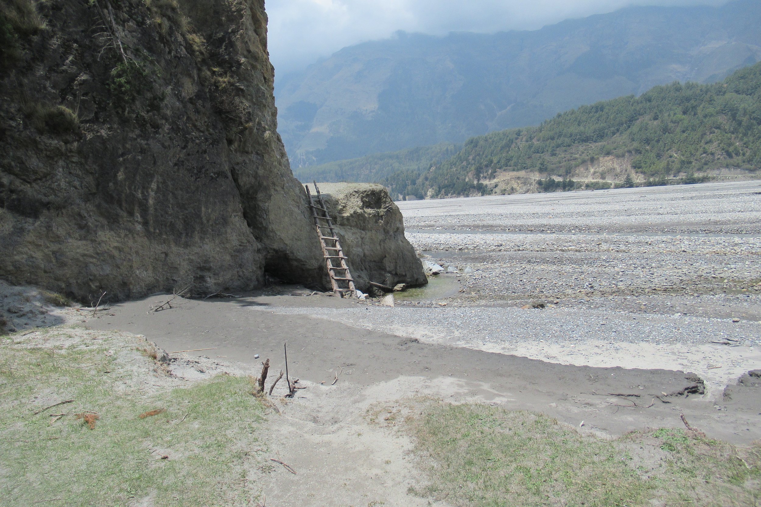
Photos Below: 1) Prayer flags on the bridge 2) Remnants 3) Path ends 4) Trail goes up the ladder 5) Sauru village ahead 6) Kali Gandaki river
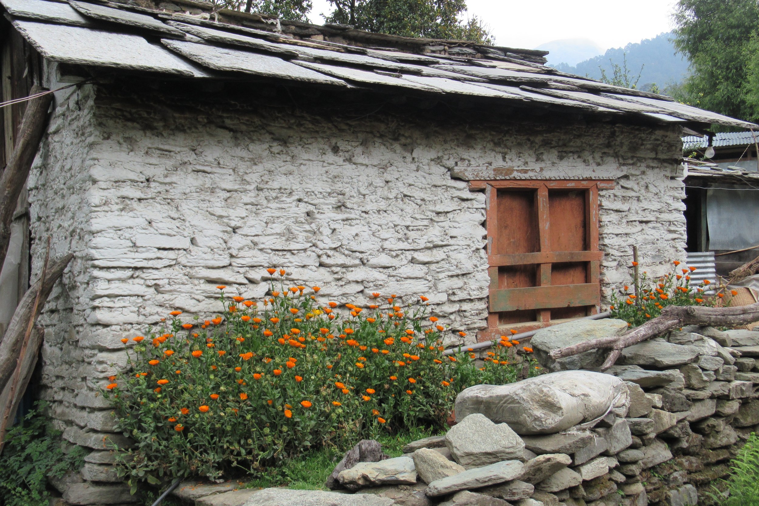
April 28: Kalopani to Tatopani - 1190m/3,904ft
Today was uneventful other than the difficulty in following the trail. After parting from Kate I downloaded the app Maps.me that she used. Whenever we got to a tricky spot she would open the app to see which way we would go. Since I would be by myself again I figured I needed all the help I could get. All I had to do was download the area maps when I had wifi and then when I was out walking (without wifi or data) I would open the app, select the town I was headed for, and click "Route To" and it would mark the path following the Annapurna Circuit (Google maps does not do this without data). However, I did find that there were a couple different routes you could take so I tried to stay by the river and road. At one point I came upon road work and wasn't able to pass so I looked at Maps.me and saw that the trail was actually up above so I climbed up off the road and found the path. You could essentially take the road the whole way to Tatopani from Marpha or even Muktinath but the road is not pleasant.
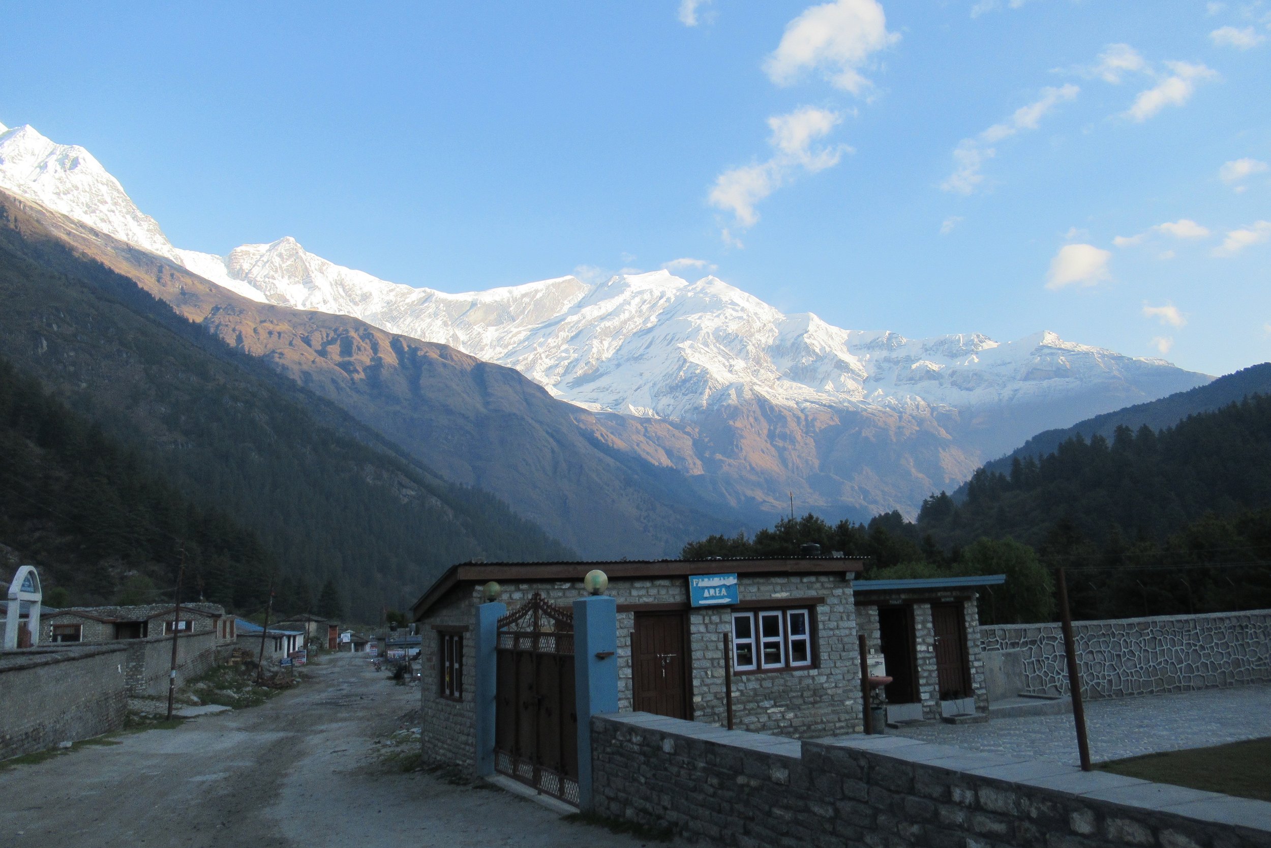
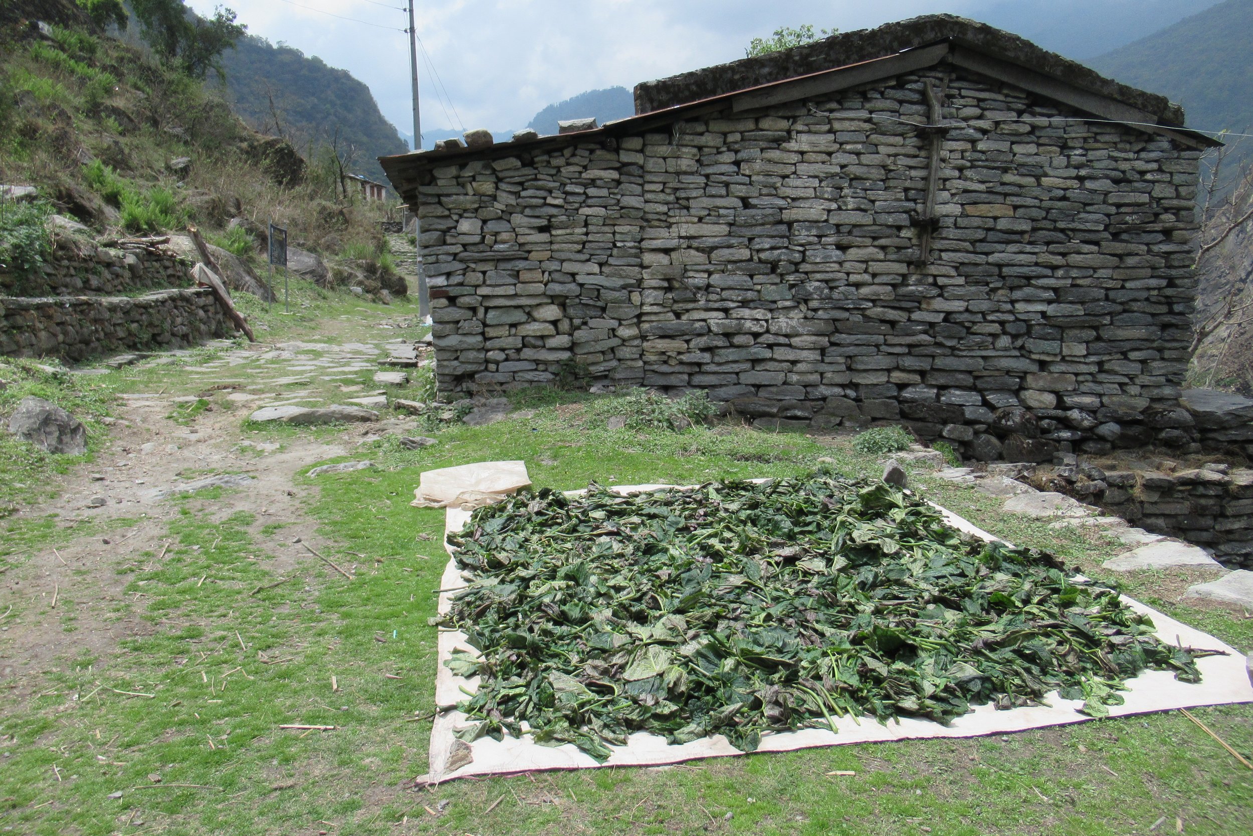
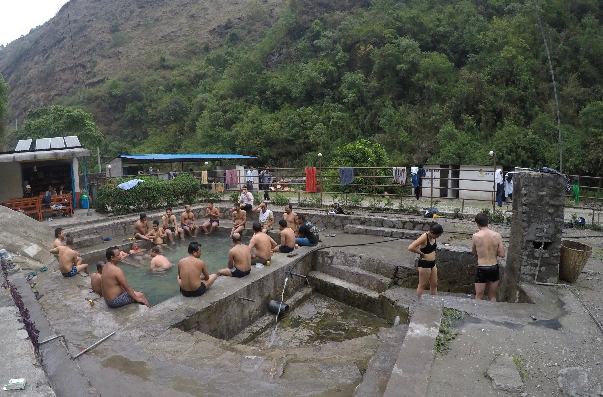
I don't know how I descended ~5000ft today as it felt like I was going up a lot too. Once arriving in town I picked a guesthouse that turned out to be the worst one I had on the trek. Tatopani is known for it's hot springs so before dinner I walked down and paid 150 Nepali Rupees (~$1.38) for the entrance fee. [I also recommend downloading World Currency Converter on your phone. I used that the entirety of my trip to 3 different countries using 3 different currencies] The Hot springs weren't the nicest ones I've ever been to but it was nice to soothe my muscles. You could also see locals there not just the tourist hikers.
Photos Below: 1) Morning in Kalopani 2) Drying out the greens 3) 1 of 2 pools at Tatopani Hot Springs
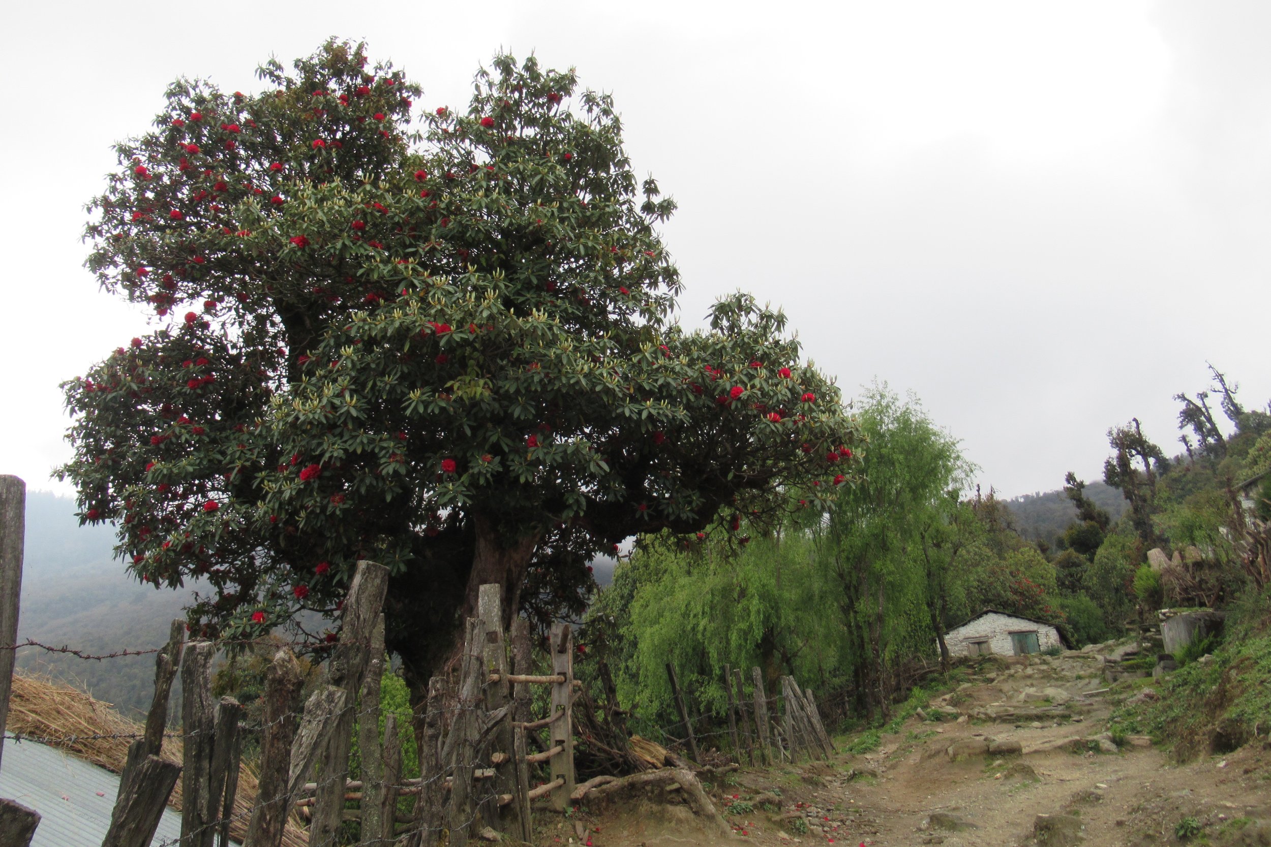
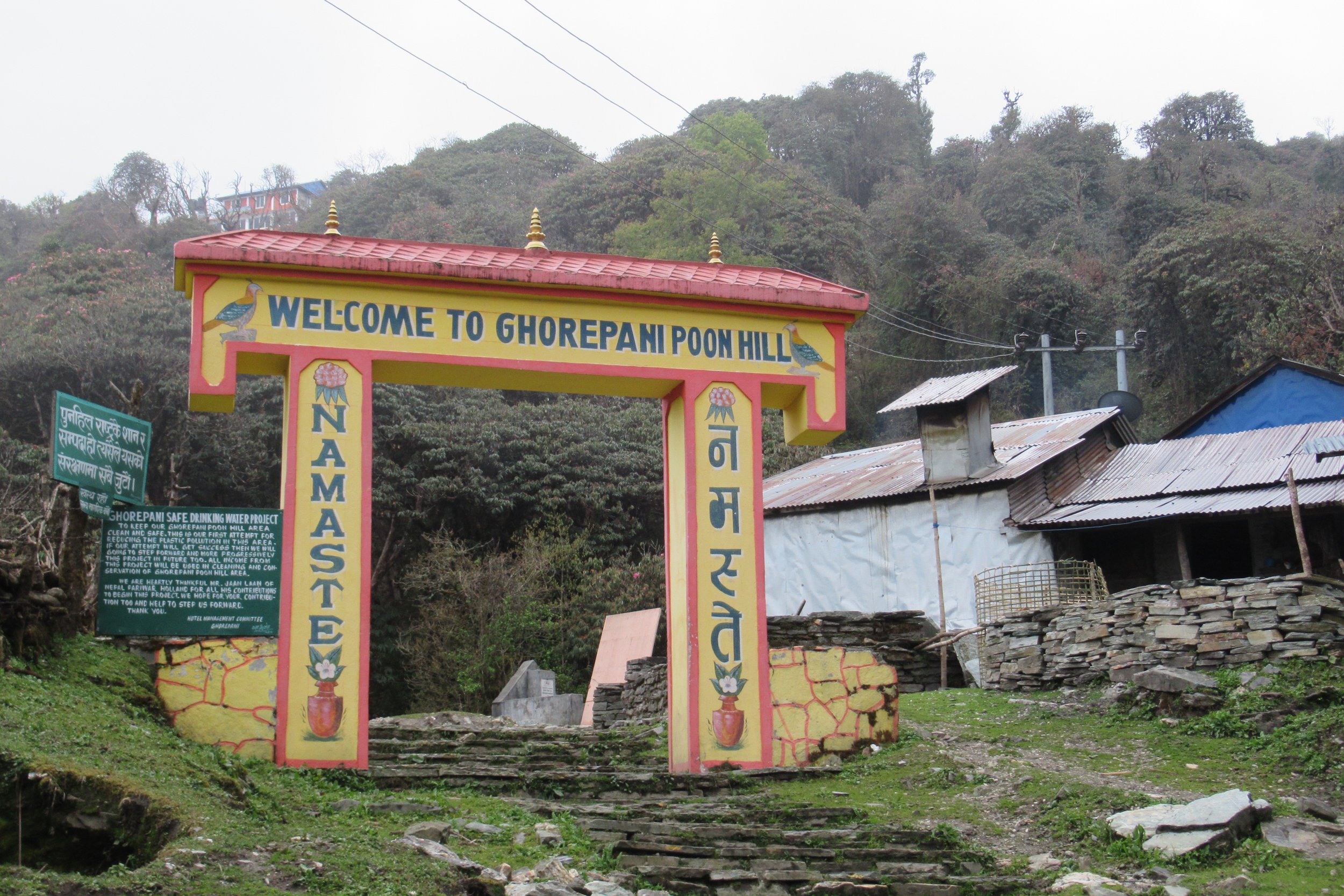
April 29: Tatopani to Ghorepani - 2870m/9,416ft
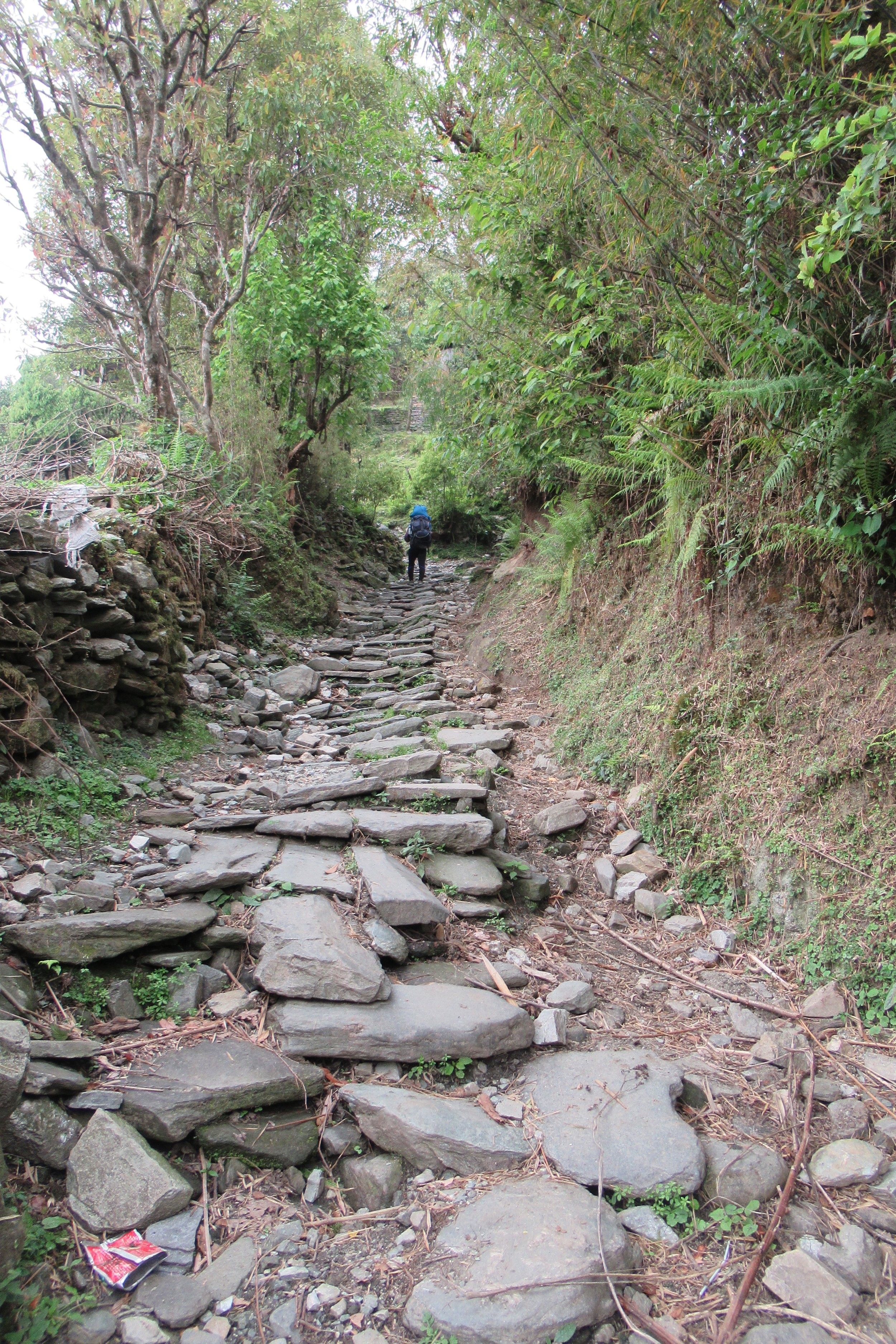
I originally thought I would hike to the village of Ghorepani because the route to Annapurna Base Camp started from there and I thought I might do the ABC hike, then I saw the elevation profile where you have to climb back up to get to Ghorepani and that didn't sound great so I thought I would stop in the village before, Tatopani. However, after arriving in Tatopani I wasn't a fan so I decided to just keep going. So this day was ascending back up about 6000ft over 10 miles. SO.MANY.STAIRS. Today was not the funnest. It started sprinkling on me but once I arrived at my guesthouse it started pouring and lightning. I sat by the wood stove sipping on hot lemon tea and eating. I felt bad for those poor suckers still hiking outside in the storm.
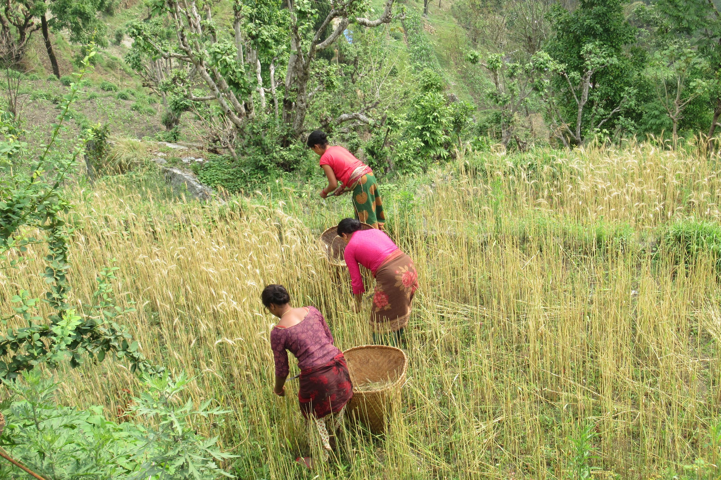
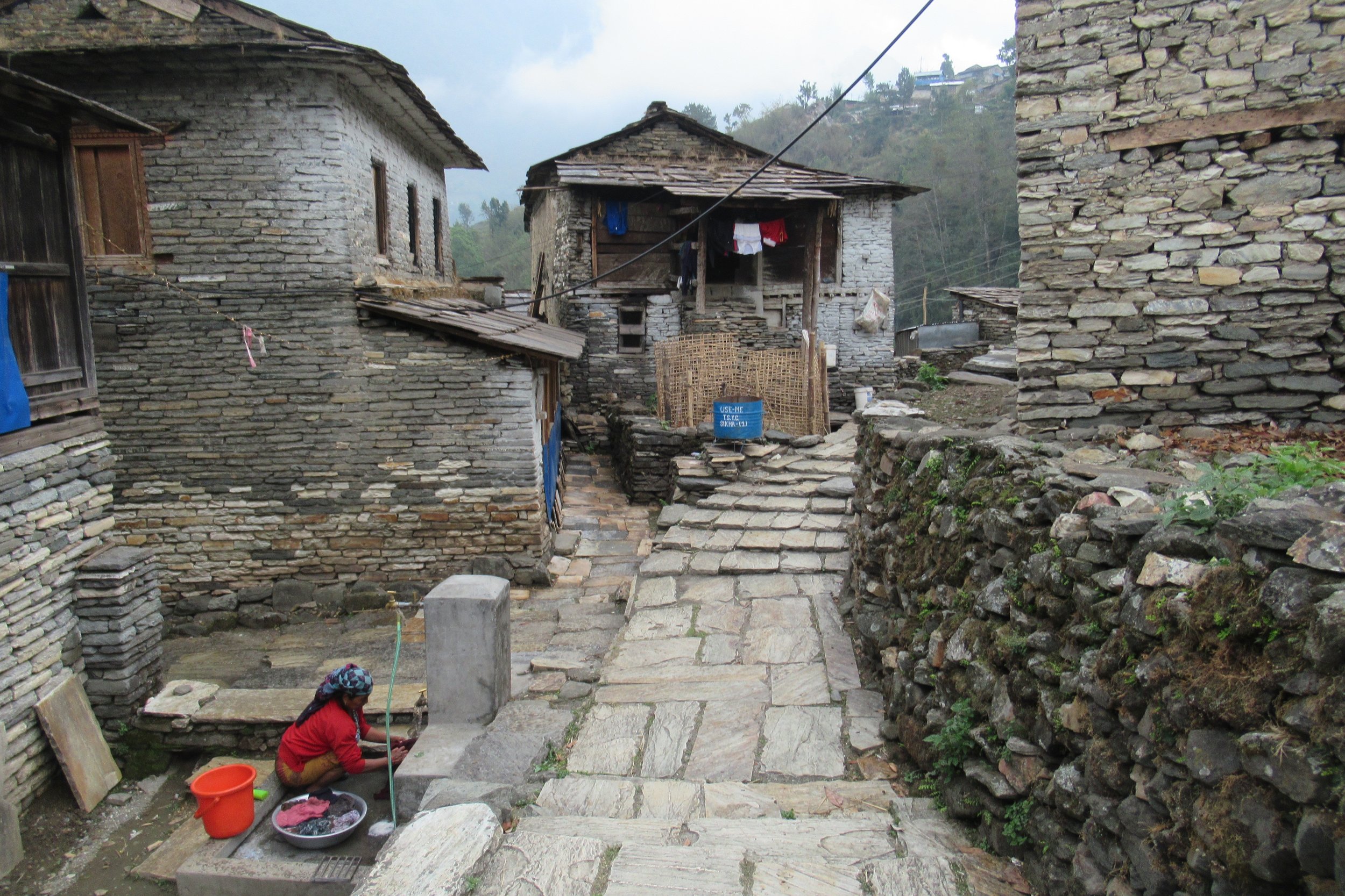
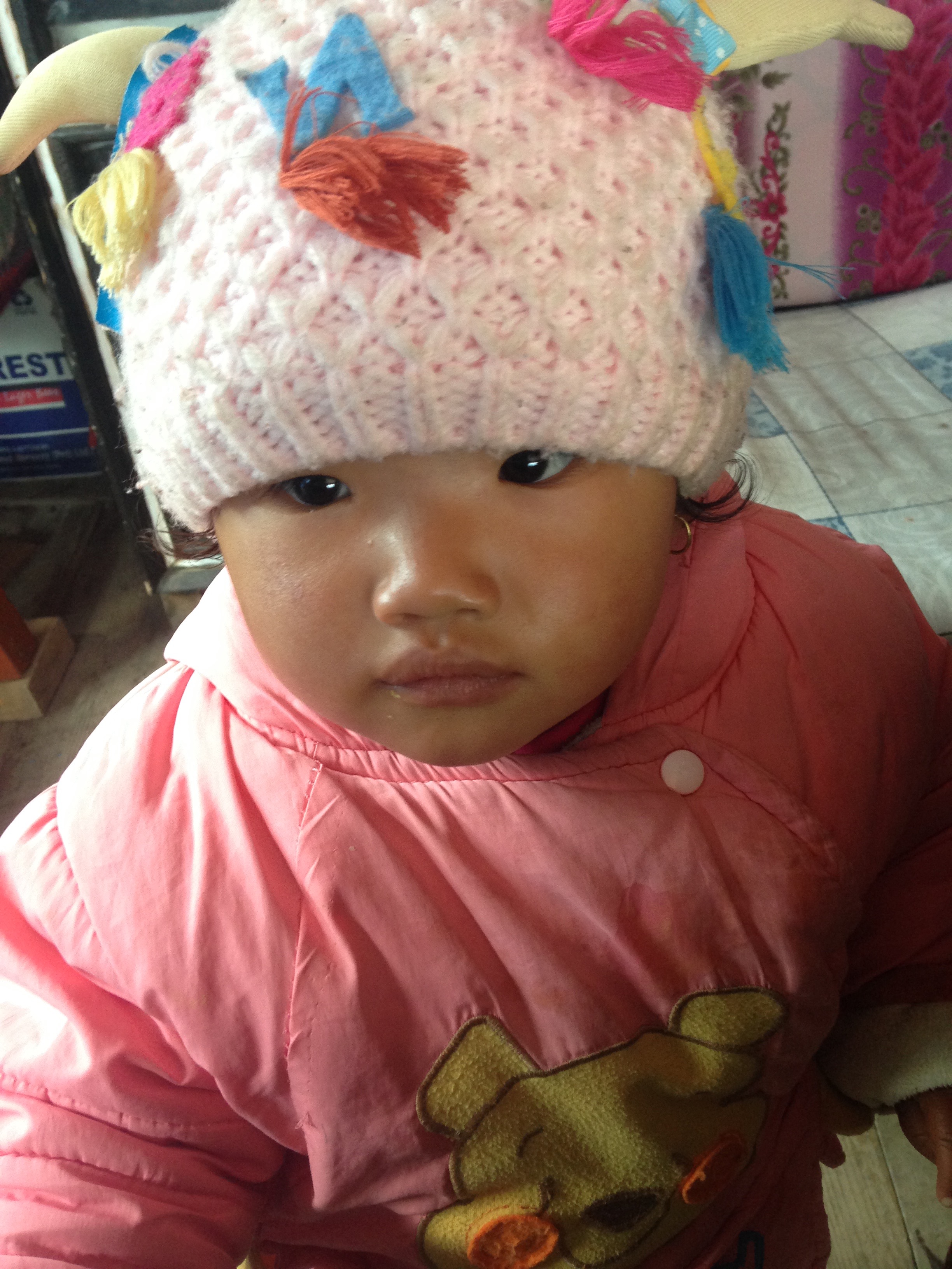
Photos Below: 1) Locals harvesting 2) Typical village 3) So many stairs 4) Pretty flowers 5) Rhododendron is Nepal's national flower 6) Welcome to Ghorepani 7) Nepalese children are the cutest
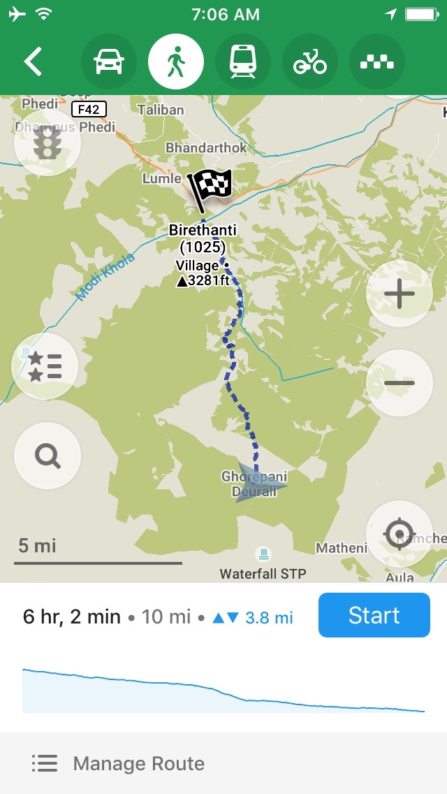
April 30: Ghorepani to Birethanti - 1025m/3,362ft
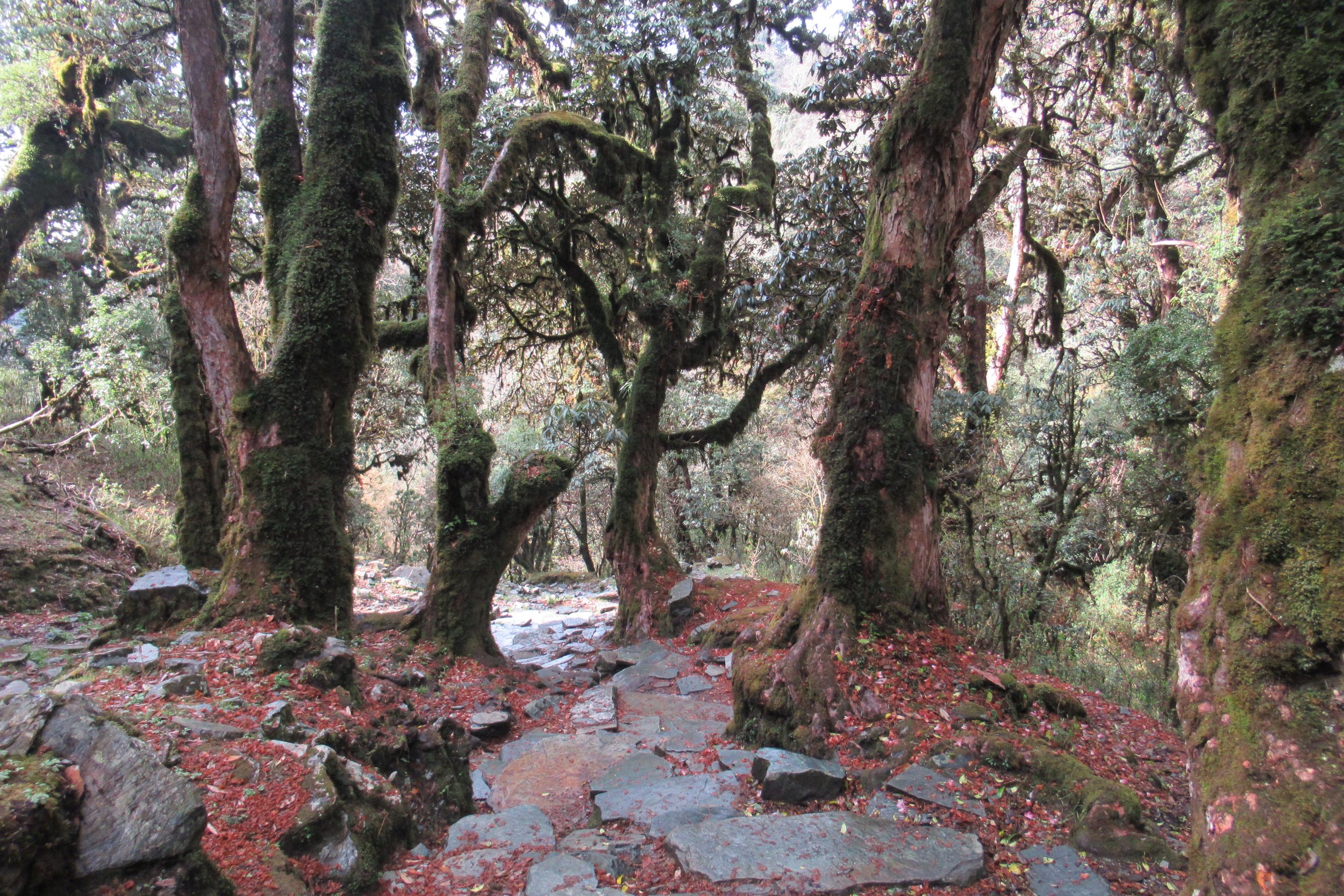
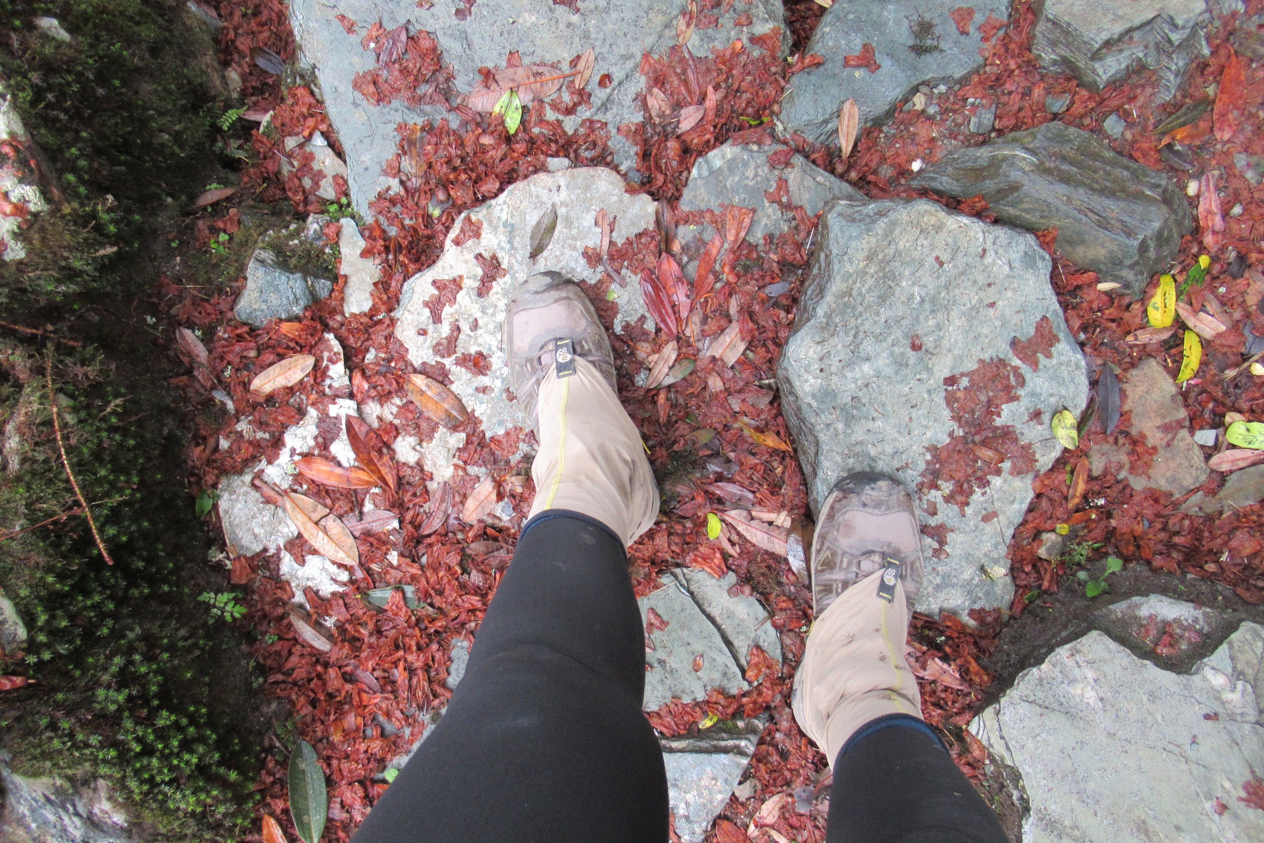
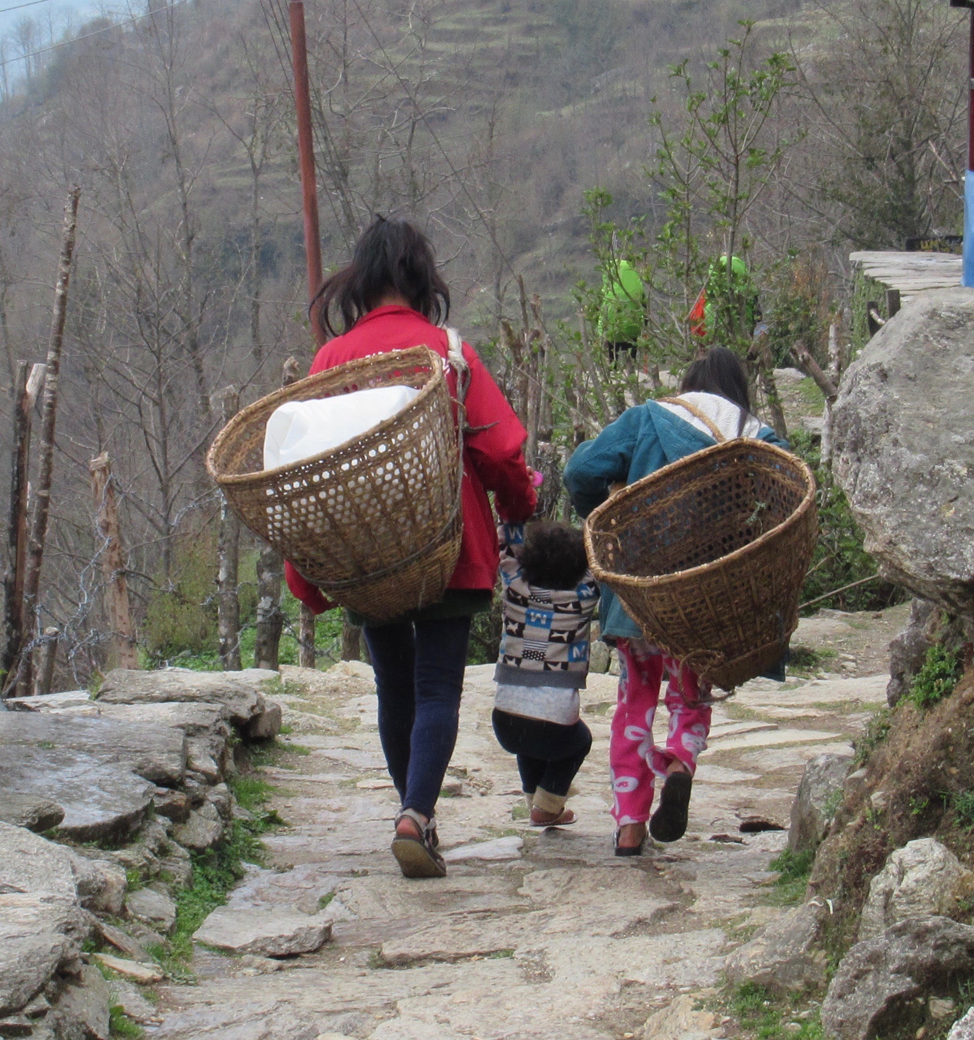
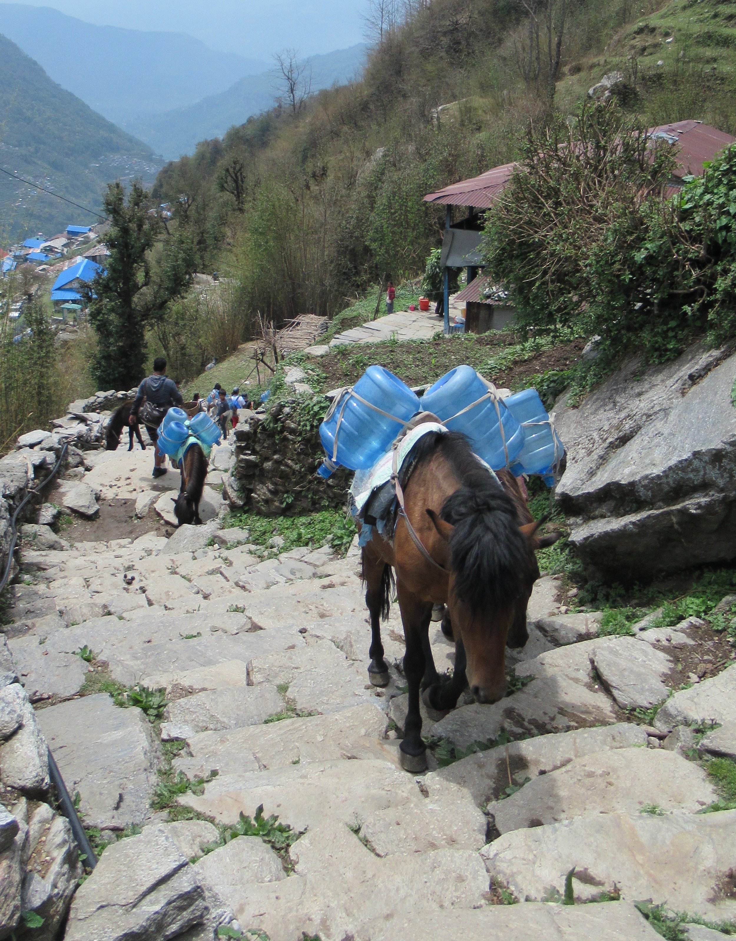
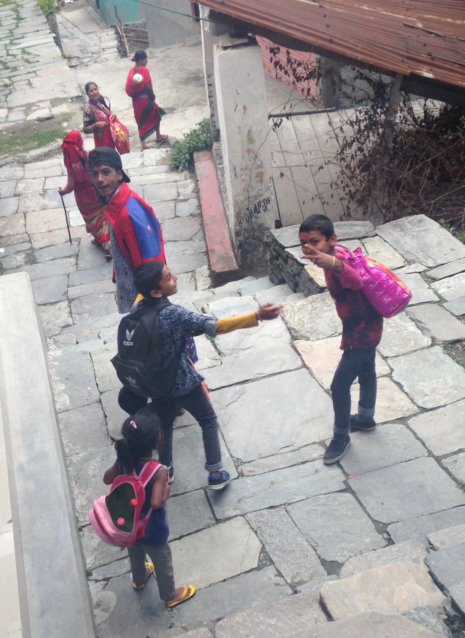
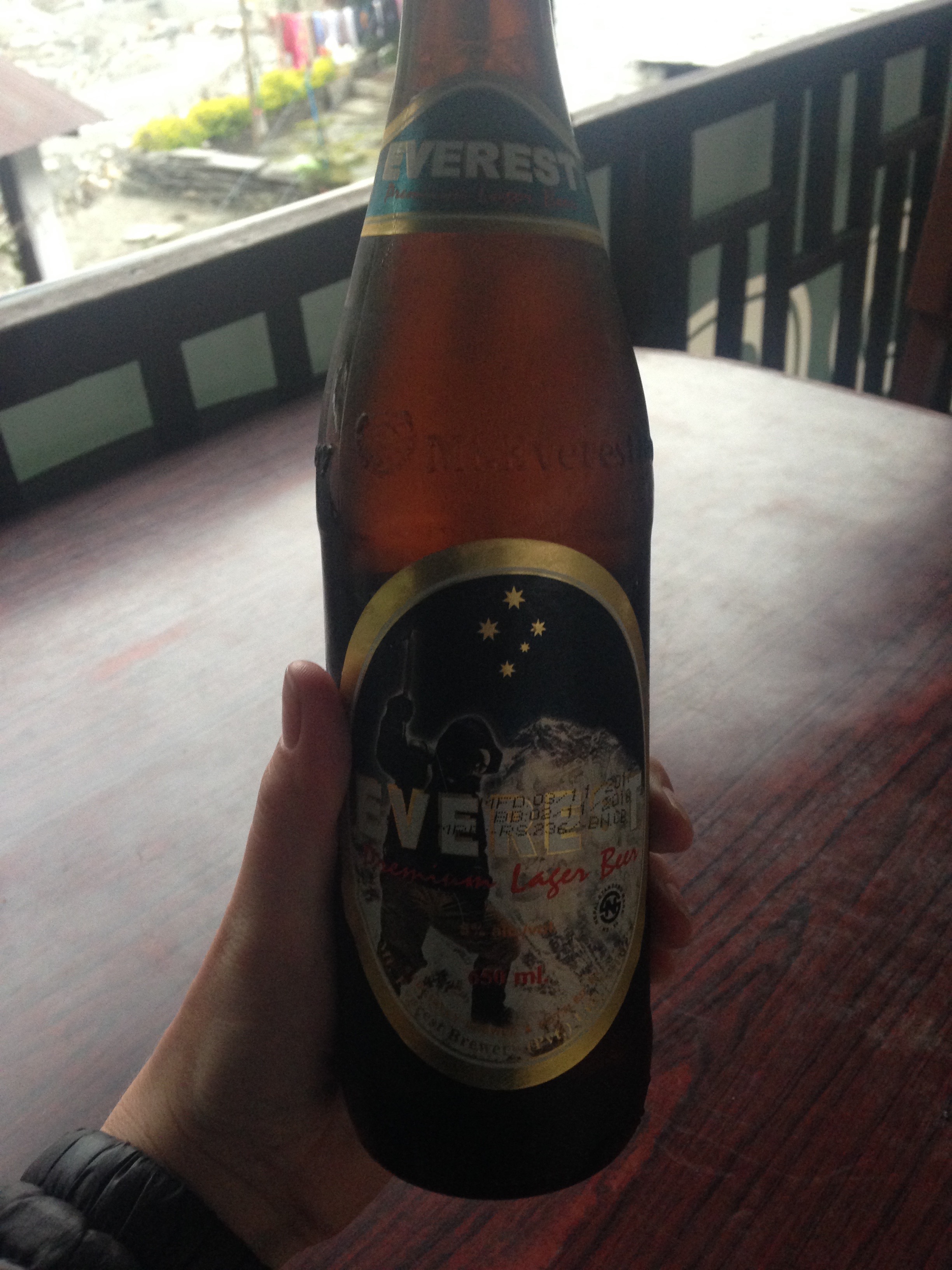
People hike up to Ghorepani so they can do an early morning hike up nearby Poon Hill for sunrise. Yeah, not me. I don't do hiking in the dark; I'm night blind and that's not a good combination for me. And, I didn't care to go up there. So after a day hiking up 6000ft, today was a day hiking right back down 6000ft. The day was full of hiking in Rhododendron and then jungle-y forests. I met some locals on the road later in the day and walked with them into Birethanti. Per usual, they ask where I'm from, my name, and where I'm going. One of the women even asked to take a picture with me. They were entertaining and helped the time pass quickly. I decided to stop in Birethanti instead of continuing the 20 minutes to Naya Pul where I would get a bus to Pokhara. I wanted to spend one last night on the trail. And in celebration I finally tried Nepal's Everest beer.
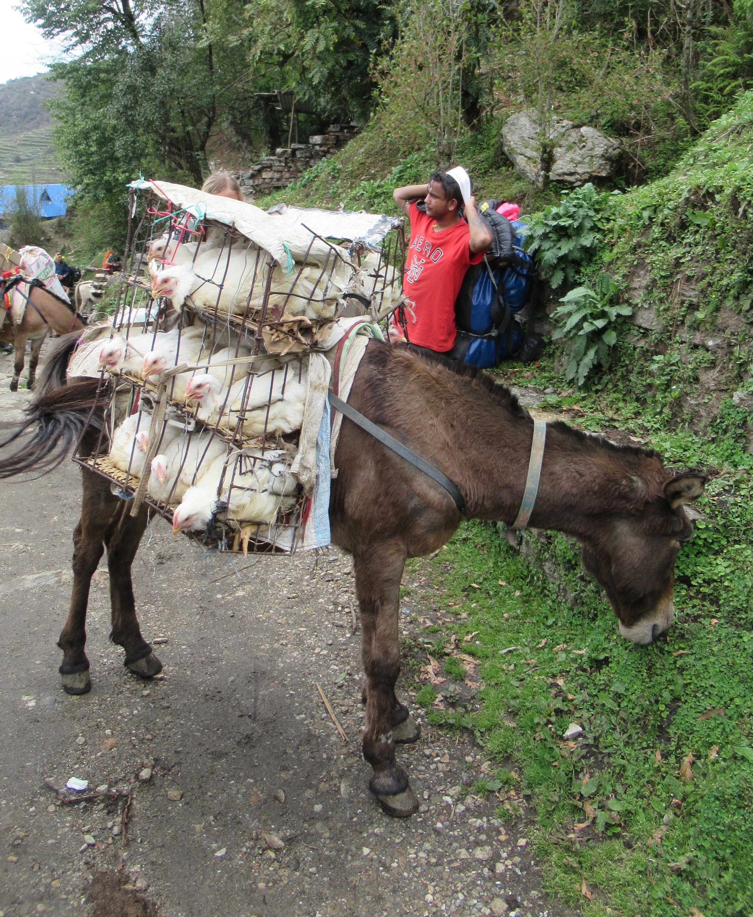
Photos Below: 1) Forest walking 2) Looking down 3) Locals 4) Mule packing chickens 5) Rainy village 6) Horse packing empty water containers 7) New local friends 8) Everest beer 9) Maps.me application
May 1: Birethanti to Naya Pul. Jeep to Pokhara
Since I wasn't in a hurry to hike this morning I took my time. Plus I only had 20 more minutes of walking. I passed my last checkpost and soon after came to the Annapurna Conservation Area sign so I took that as the end of the Circuit. Took my picture and kept walking to Naya Pul. I don't really remember anything being there so I waited at the road for a bus but a local came over and told me and 2 other locals waiting to just get in a passing jeep; it wouldn't be that much more expensive plus it would be more comfortable then the bus. Luckily the ride wasn't that long, maybe 2 hours to Pokhara on the small bumpy road-in-construction. I had booked a hotel in advance so I walked toward Lakeside and checked in. I could finally wash my clothes!
[Make sure to withdraw all the money you may need for the entirety of the trek in Kathmandu since you won't find an ATM until you get to Pokhara. I spent $225 total or $16/day for 14 days. Keep in mind I'm pretty cheap and I ate leftovers a few days and didn't normally buy lunch. And I took a dozen snickers with me ;) ]
To follow the rest of my time in Nepal check out my next post Pokhara, Nepal. Then my posts from Malaysia and Singapore.

Checkpost

GPS map and starred points where I stayed every night

End of the Annapurna Circuit
Next --> Pokhara, Nepal
Vlog # 6 - Marpha to Naya Pul. Last Vlog
